Ordnance Survey
⏳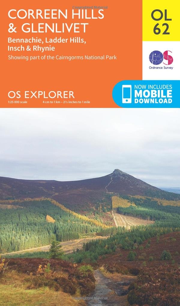
Climb the open, heather-topped moorlands of the Coreen Hills and Ladder Hills on the northern fringes of the Cairngorms National Park. Visit the village of Glenlivet, surrounded by stunning countryside and the must-see Packhorse Bridge, Drumin Castle and Doune of Dalmore. - Discover the charming Aberdeenshire villages of Rhynie on the Water of Bogle and Insch, home to the Pictish Picardy Stone - Spot golden eagles, mountain hares, red grouse and deer on the slopes of Lord Arthur’s Hill - Walk, hike or cycle along the Gordon Way past Bennachie, also known as Mither Tap, or climb the distinctive hill for spectacular views OS Explorer Maps: - 1:25 000 scale (4 cm to 1 km – 2½ inches to 1 mile). - Great for walkers, hikers, cyclists, families, dog walkers, and horse riders. - Includes roads, rights of way, permissive paths and bridleways, plus essential visitor information. - Free digital download included. - Other Ordnance Survey Explorer maps of the Cairngorms include Braemar, Tomintoul & Glen Avon map OL58 and Cairn Gorm & Aviemore map OL57.
Customer reviews
10 Trustpilot reviews total, with 2 shown at a time.
I wrote to Bigamart's customer support and they accompanied the process of reshipping the item until it finally arrived. I felt a genuine effort to solve the problem till it was finally solved.
The package was here in Australia from England in a few days — so quick! Something was missing and they refunded it straight away. Pretty happy with these guys.
You might also like