Ordnance Survey
⏳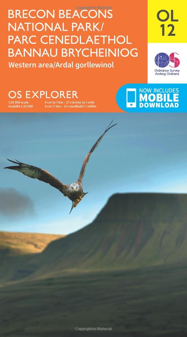
Delve into some of the wildest and most untouched areas of the Brecon Beacons National Park. Trace the River Towy west from Llandovery into the Cambrian Mountains, or blaze a trail into the spectacular ‘Black Mountain’, the high, rolling country above the Tywi Valley. - Follow the Beacons Way from the village of Llangadog on the banks of the River Towy into the atmospheric Black Mountain country - Climb Tair Carn Isaf for stunning views of southern Wales and over the Severn Estuary, or seek out the Llyn Brianne Dam, the UK’s highest dam - Walk, hike and climb paths including the Taff Trail, Usk Valley Walk and Beacons Way OS Explorer Maps: - 1:25 000 scale (4 cm to 1 km – 2½ inches to 1 mile). - Great for walkers, hikers, cyclists, families, dog walkers, and horse riders. - Includes roads, rights of way, permissive paths and bridleways, plus essential visitor information. - Free digital download included. - Other Ordnance Explorer maps of the Brecon Beacons include Brecon Beacons National Park – Eastern Area map OL13 and Builth Wells map 188.
Customer reviews
10 Trustpilot reviews total, with 2 shown at a time.
I wrote to Bigamart's customer support and they accompanied the process of reshipping the item until it finally arrived. I felt a genuine effort to solve the problem till it was finally solved.
The package was here in Australia from England in a few days — so quick! Something was missing and they refunded it straight away. Pretty happy with these guys.
You might also like