Ordnance Survey
⏳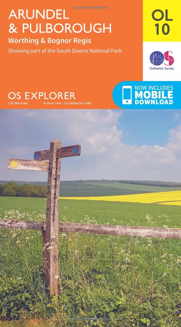
Encounter nature and culture perfectly blended in the South Downs, Arun valley and seaside towns of Worthing and Bognor Regis. With the uplands of the South Downs National Park stretching down to the English Channel coast, this area offers stunning views, seaside pursuits and stargazing. Discover historic Arundel and commanding Arundel Castle with its magnificent views across West Sussex and the Downs Enjoy the heritage of Worthing, Littlehampton and Bognor Regis, complete with vintage English holiday charm, sunshine-flooded beaches and traditional piers Walk or cycle the South Downs Way, West Sussex Literary Trail, Monarch’s Way and Serpent Trail OS Explorer Maps: 1:25 000 scale (4 cm to 1 km – 2½ inches to 1 mile). Great for walkers, hikers, cyclists, families, dog walkers, and horse riders. Includes roads, rights of way, permissive paths and bridleways, plus essential visitor information. Free digital download included. Other Ordnance Survey maps of the south coast include Chichester Explorer map OL08 and Brighton & Hove Explorer map OL11
Customer reviews
10 Trustpilot reviews total, with 2 shown at a time.
I wrote to Bigamart's customer support and they accompanied the process of reshipping the item until it finally arrived. I felt a genuine effort to solve the problem till it was finally solved.
The package was here in Australia from England in a few days — so quick! Something was missing and they refunded it straight away. Pretty happy with these guys.
You might also like