Ordnance Survey
⏳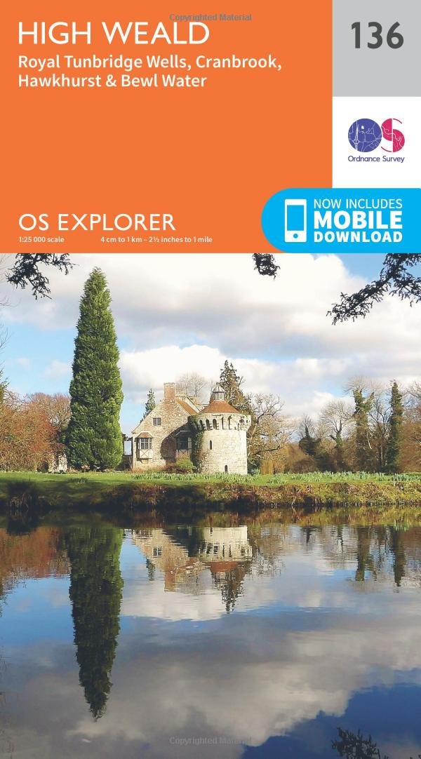
Discover the beauty of the High Weald, a landscape of rolling hills, sandstone outcrops, ancient routeways, medieval pastures and picturesque towns and villages. Delve into deep woodland, with the highest proportion of ancient forest remaining of anywhere in the country, and explore Bewl Water, the largest stretch of open water in the South East. Visit Hawkhurst, once the haunt of the notorious Hawkhurst Gang of smugglers, Cranbrook, ‘capital of the Weald’, and nearby Sissinghurst with its exquisite gardens Find out for yourself why spa town Royal Tunbridge Wells was such a favourite with Queen Anne and Queen Victoria Walk or cycle a landscape criss-crossed with recreational paths including the stunning High Weald Landscape Trail, Sussex Border Path and Wealdway OS Explorer Maps: 1:25 000 scale (4 cm to 1 km – 2½ inches to 1 mile). Great for walkers, hikers, cyclists, families, dog walkers, and horse riders. Includes roads, rights of way, permissive paths and bridleways, plus essential visitor information. Free digital download included. Other Ordnance Survey maps of Kent include Sevenoaks & Tonbridge Explorer map 147 and Ashdown Forest Explorer map 135
Customer reviews
10 Trustpilot reviews total, with 2 shown at a time.
I wrote to Bigamart's customer support and they accompanied the process of reshipping the item until it finally arrived. I felt a genuine effort to solve the problem till it was finally solved.
The package was here in Australia from England in a few days — so quick! Something was missing and they refunded it straight away. Pretty happy with these guys.
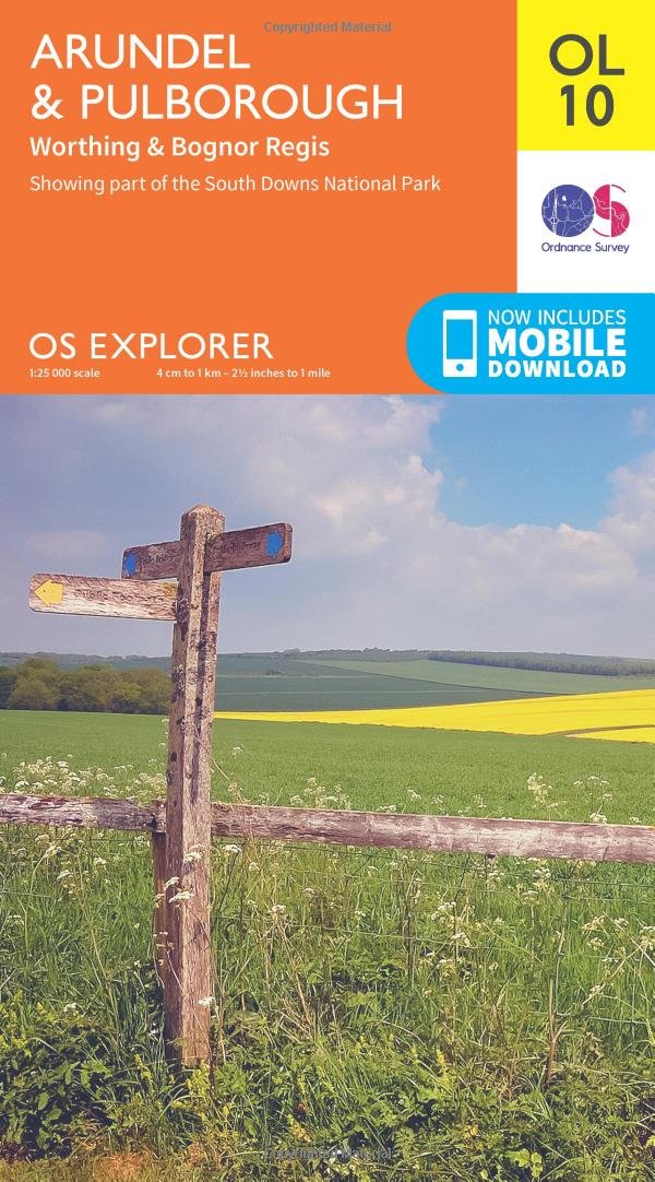
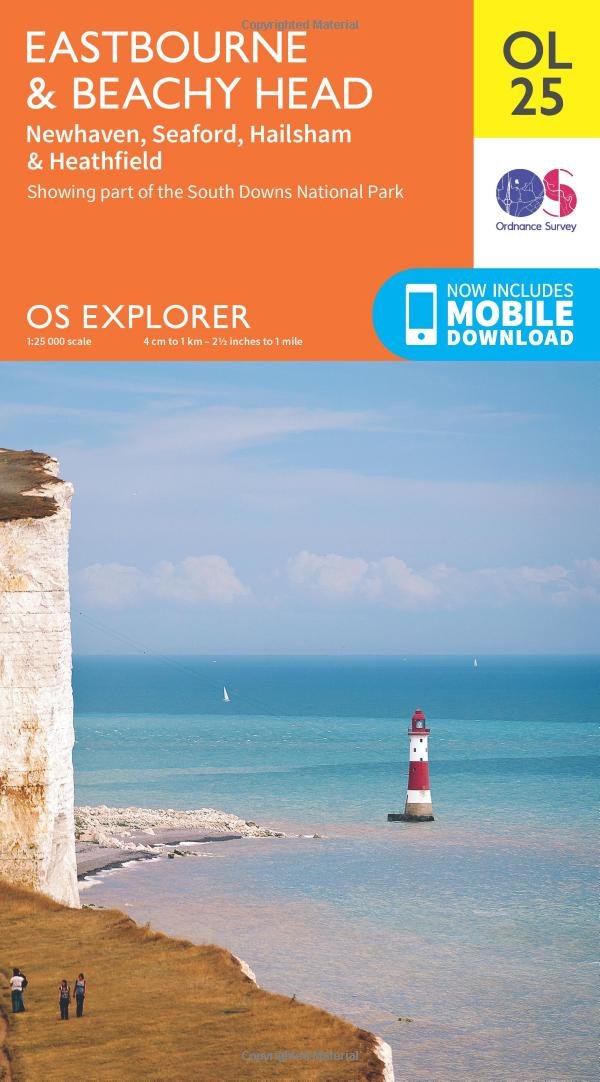
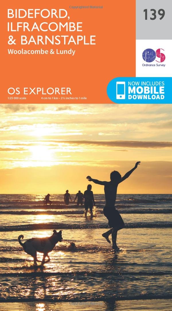
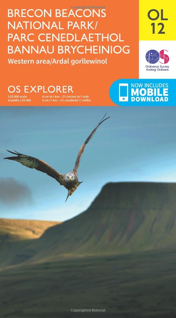
You might also like