Ordnance Survey
⏳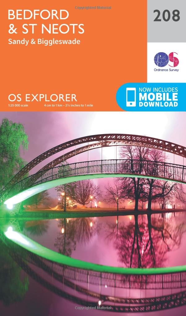
Explore the historic market towns of Bedford and St Neots on the River Great Ouse, and take the circular John Bunyan Trail through the Forest of Marston Vale and tranquil Bedfordshire. Follow the Greensand Ridge Walk to Sandy and nearby Biggleswade on the River Ivel. Enjoy Bedford’s rich history, including Bedford Gaol where the imprisoned John Bunyan wrote Pilgrim’s Progress Discover country parks, wildlife preserves and the Shuttleworth Collection of beautifully-preserved aircraft Walk, ramble or cycle along recreational paths including the Ouse Valley Way, Three Shires Way and Marston Vale Trail OS Explorer Maps: 1:25 000 scale (4 cm to 1 km – 2½ inches to 1 mile). Great for walkers, hikers, cyclists, families, dog walkers, and horse riders. Includes roads, rights of way, permissive paths and bridleways, plus essential visitor information. Free digital download included. Other Ordnance Survey Explorer maps of Bedfordshire include Buckingham & Milton Keynes 192 and Huntingdon & St Ives 225
Customer reviews
10 Trustpilot reviews total, with 2 shown at a time.
I wrote to Bigamart's customer support and they accompanied the process of reshipping the item until it finally arrived. I felt a genuine effort to solve the problem till it was finally solved.
The package was here in Australia from England in a few days — so quick! Something was missing and they refunded it straight away. Pretty happy with these guys.
You might also like