Ordnance Survey
⏳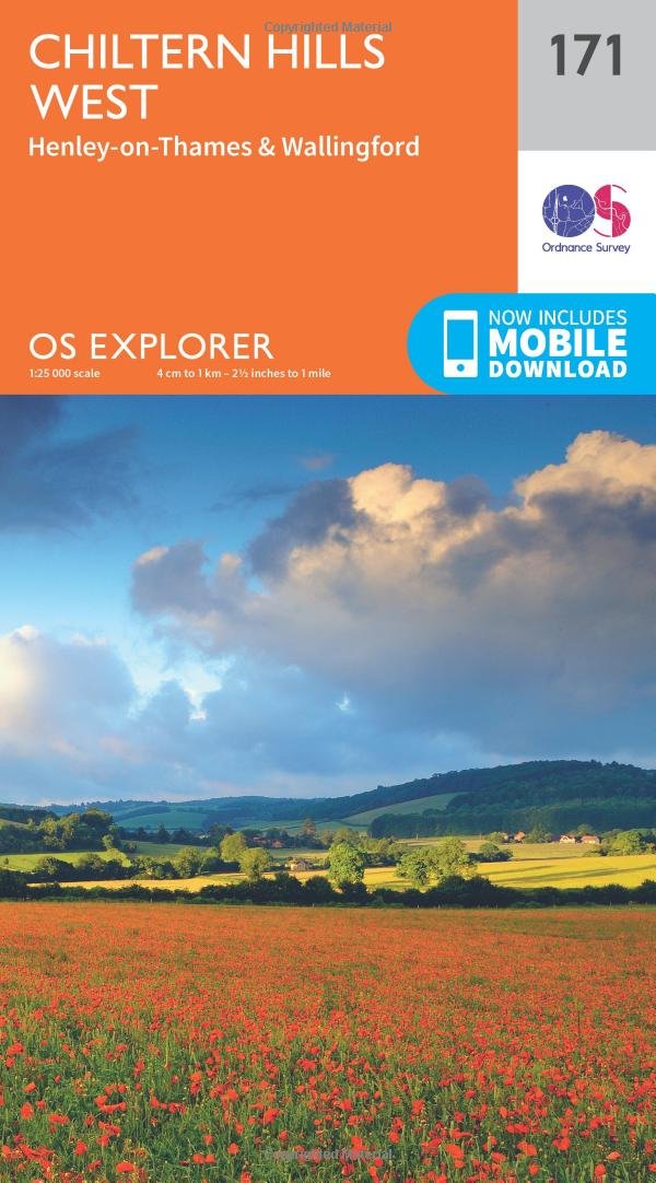
Plunge into lovely countryside as you explore the west Chiltern Hills, an Area of Outstanding Natural Beauty on London’s doorstep. Roam hills clothed in ancient woods and chalk-fed streams, then refresh yourself in the historic market towns of Henley-on-Thames and Wallingford, home of Agatha Christie. Enjoy Henley-on-Thames, a quintessentially English town set along an exceptionally beautiful stretch of the River Thames Experience the unique chalk landscape of the Chilterns and glimpse rare butterflies, birds of prey and orchids Walk or cycle beloved recreational paths including the Chiltern Way, Oxfordshire Way and a section of the ancient Ridgeway, Britain’s oldest road OS Explorer Maps: 1:25 000 scale (4 cm to 1 km – 2½ inches to 1 mile). Great for walkers, hikers, cyclists, families, dog walkers, and horse riders. Includes roads, rights of way, permissive paths and bridleways, plus essential visitor information. Free digital download included. Other Ordnance Survey Chiltern Hills maps include Reading, Wokingham & Pangbourne Explorer map 159 and Vale of White Horse Explorer map 170
Customer reviews
10 Trustpilot reviews total, with 2 shown at a time.
I wrote to Bigamart's customer support and they accompanied the process of reshipping the item until it finally arrived. I felt a genuine effort to solve the problem till it was finally solved.
The package was here in Australia from England in a few days — so quick! Something was missing and they refunded it straight away. Pretty happy with these guys.
You might also like