Ordnance Survey
⏳
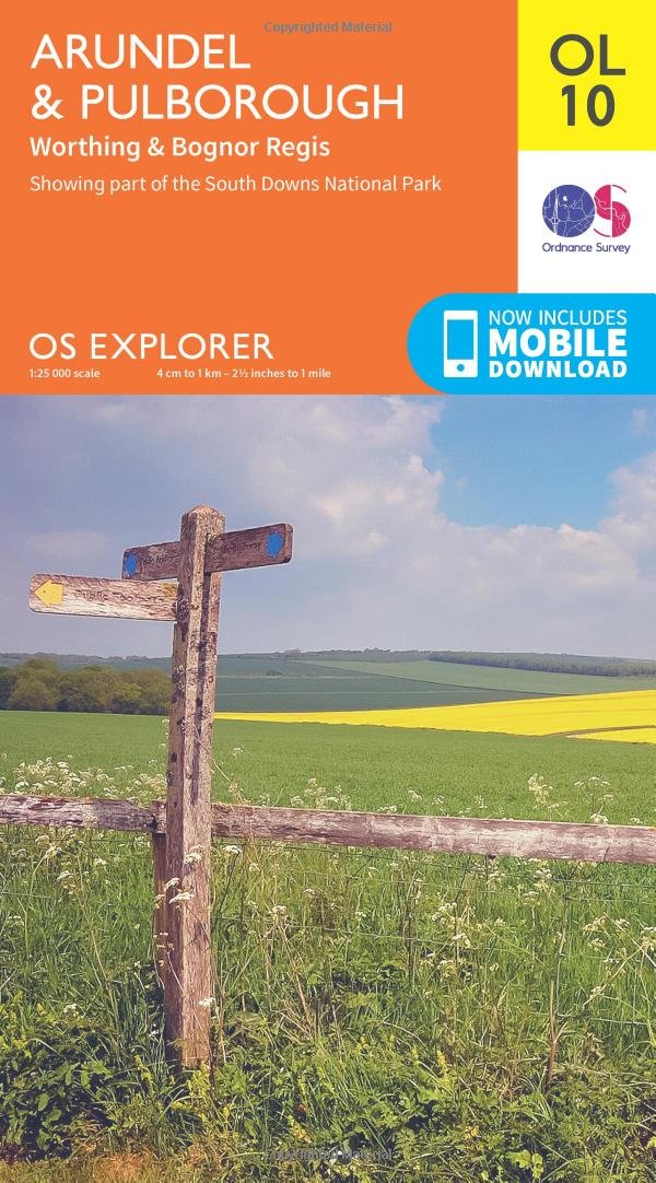
Experience the Cotswolds, a landscape made for walking and exploring and an Area of Outstanding Natural Beauty latticed with drystone walls and ancient paths. Explore Stroud, nestled beneath the western escarpment of the hills, and join the Cotswold Way for the best views of the five valleys and the Cotswold Hills. Visit Tetbury, the historic wool town and gateway to the Cotswolds and an architectural gem home to Prince Charles and the Duchess of Cornwall Discover the rich history of Malmesbury, England’s oldest borough, and see its famous abbey Walk, hike, cycle or ride along the Cotswold Path, Thames Path and other gorgeous recreational paths OS Explorer Maps: 1:25 000 scale (4 cm to 1 km – 2½ inches to 1 mile). Great for walkers, hikers, cyclists, families, dog walkers, and horse riders. Includes roads, rights of way, permissive paths and bridleways, plus essential visitor information. Free digital download included. Other Ordnance Survey maps of the Cotswolds include Gloucester, Cheltenham & Stroud Explorer map 179 and Chippenham & Bradford-on-Avon Explorer map 156
Customer reviews
10 Trustpilot reviews total, with 2 shown at a time.
I wrote to Bigamart's customer support and they accompanied the process of reshipping the item until it finally arrived. I felt a genuine effort to solve the problem till it was finally solved.
The package was here in Australia from England in a few days — so quick! Something was missing and they refunded it straight away. Pretty happy with these guys.
You might also like