Little Wigwam
✓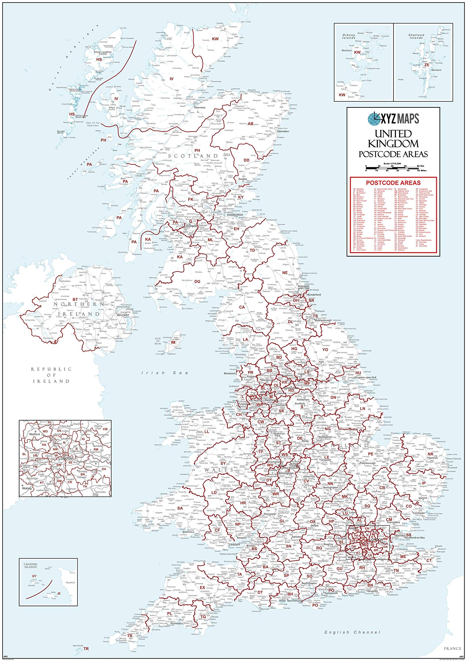
39.5 x 55.75 inches. Laminated. Flat map, tubed for shipping. This UK White Postcode Areas Large Wall Map clearly shows the 124 postcode area boundaries and associated postcode labels on a white background and is perfect for determining national postcode boundaries, national planning, logistics or as a national reference guide. Map created by XYZ Maps, one of Scotland's leading map publishers. Scale 1:715,000
Customer reviews
10 Trustpilot reviews total, with 2 shown at a time.
I wrote to Bigamart's customer support and they accompanied the process of reshipping the item until it finally arrived. I felt a genuine effort to solve the problem till it was finally solved.
The package was here in Australia from England in a few days — so quick! Something was missing and they refunded it straight away. Pretty happy with these guys.
You might also like