Little Wigwam
✓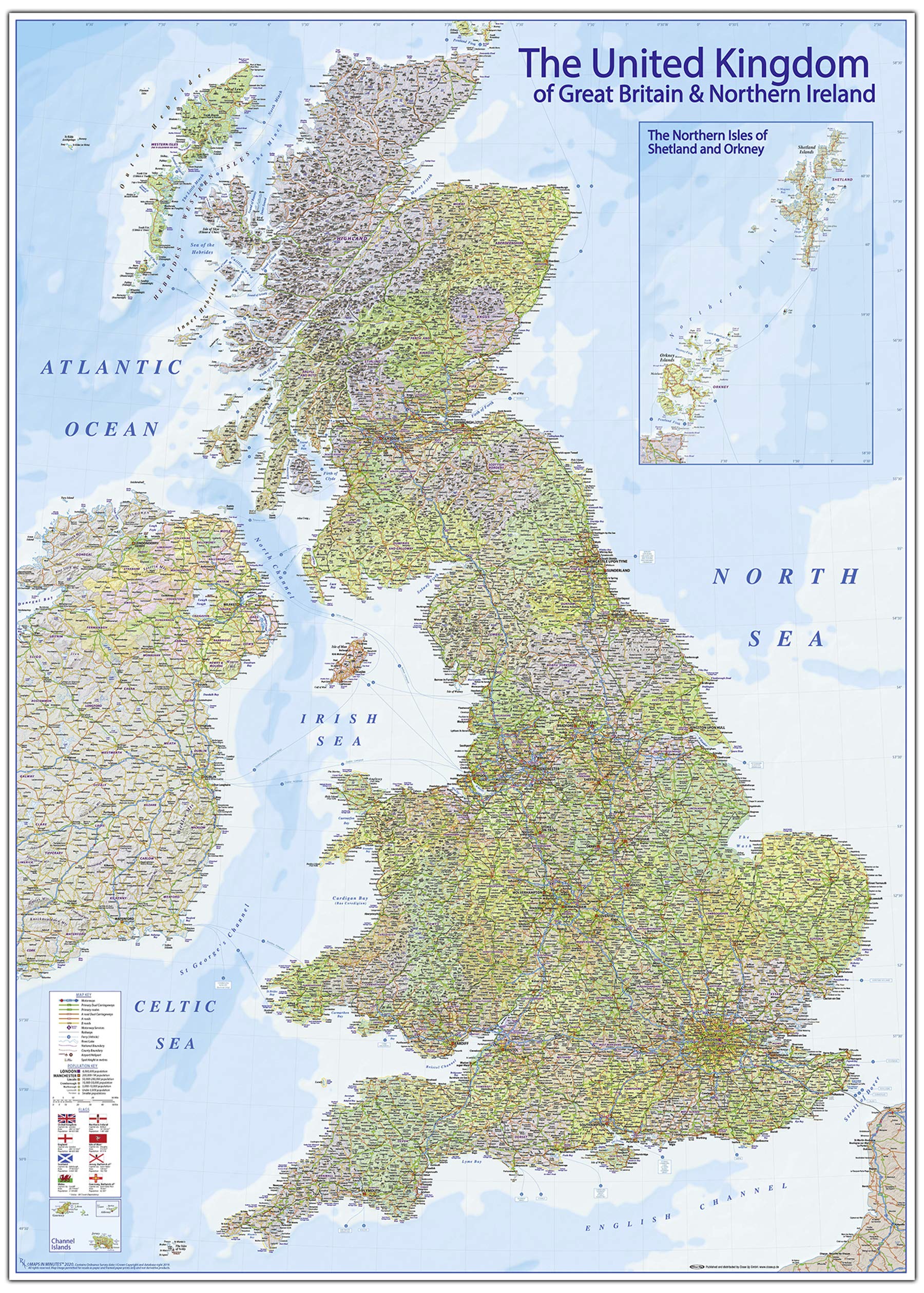
An up-to-date and accurate United Kingdom political road & rail map with counties and hill shading. Roads include Motorways (including junction numbers and Services), Primary routes/‘A’ roads including dual carriageways plus‘B’ roads, road numbering, rivers, lakes/lochs, mountain ranges with spot heights (in metres), Cities and towns (by population), ferry routes, airports, map key and scale. Inset maps of the Northern Isles of Orkney and Shetland plus theChannel Isles.
Customer reviews
10 Trustpilot reviews total, with 2 shown at a time.
I wrote to Bigamart's customer support and they accompanied the process of reshipping the item until it finally arrived. I felt a genuine effort to solve the problem till it was finally solved.
The package was here in Australia from England in a few days — so quick! Something was missing and they refunded it straight away. Pretty happy with these guys.
You might also like