Ordnance Survey
⏳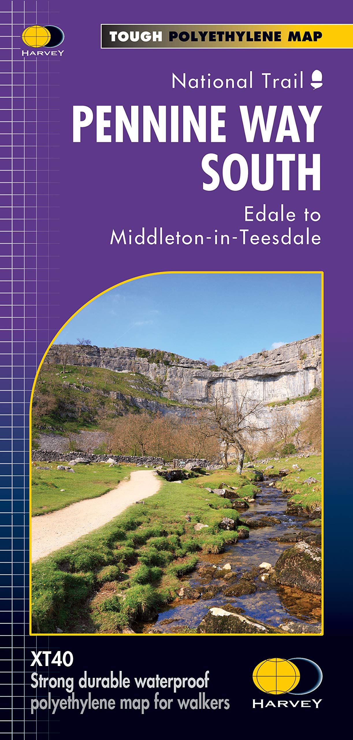
Now printed on 100% waterproof and practically indestructable polyethelene paper. Weighing half the weight of a laminated map this updated map from Edale to Middleton-in-Teesdale is the Southern part of the popular Pennine Way. The Pennine Way is a National Trail. It follows the backbone of England from the Peak District to the Scottish borders. It is one of the toughest UK long distance footpaths, and forms part of the European Footpath Network. The Pennine Way was Britain's first National Trail, opened in 1965. Just 2 HARVEY maps cover the whole 268-mile route. Each covers a section of the Way suitable for a comfortable week of walking. Each starts and finishes near public transport.
Customer reviews
10 Trustpilot reviews total, with 2 shown at a time.
I wrote to Bigamart's customer support and they accompanied the process of reshipping the item until it finally arrived. I felt a genuine effort to solve the problem till it was finally solved.
The package was here in Australia from England in a few days — so quick! Something was missing and they refunded it straight away. Pretty happy with these guys.
You might also like