Ordnance Survey
⏳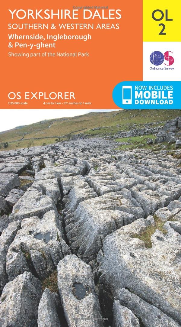
Experience everything the Yorkshire Dales have to offer, from the outstanding natural beauty of Nidderdale and Aysgarth Falls to the iconic Ribblehead Viaduct and picturesque Bolton Abbey ruins. Explore the dramatic limestone landscape with its caves and waterfalls, immortalised by James Herriot and All Creatures Great and Small, along the Pennine Way, Dales High Way, Ribble Way and more. Tackle part or all of the Yorkshire Three Peaks Challenge and climb Pen-y-Ghent, Whernside and Ingleborough Relax in the historic market towns of Kirkby Lonsdale; Skipton, ancient gateway to the Yorkshire Dales; and Settle, starting point of the famous Settle to Carlisle railway line Ramble and hike amidst stunning gorges and waterfalls and even explore some of Great Britain’s most extraordinary cave systems such as the White Scar Caves and Ingleborough Cave OS Explorer Maps: 1:25 000 scale (4 cm to 1 km – 2½ inches to 1 mile). Great for walkers, hikers, cyclists, families, dog walkers, and horse riders. Includes roads, rights of way, permissive paths and bridleways, plus essential visitor information. Free digital download included. Other Ordnance Survey Yorkshire Dales maps include Yorkshire Dales: Northern & Central Explorer map OL30 and Forest of Bowland & Ribblesdale Explorer map OL41
Customer reviews
10 Trustpilot reviews total, with 2 shown at a time.
I wrote to Bigamart's customer support and they accompanied the process of reshipping the item until it finally arrived. I felt a genuine effort to solve the problem till it was finally solved.
The package was here in Australia from England in a few days — so quick! Something was missing and they refunded it straight away. Pretty happy with these guys.
You might also like