Ordnance Survey
⏳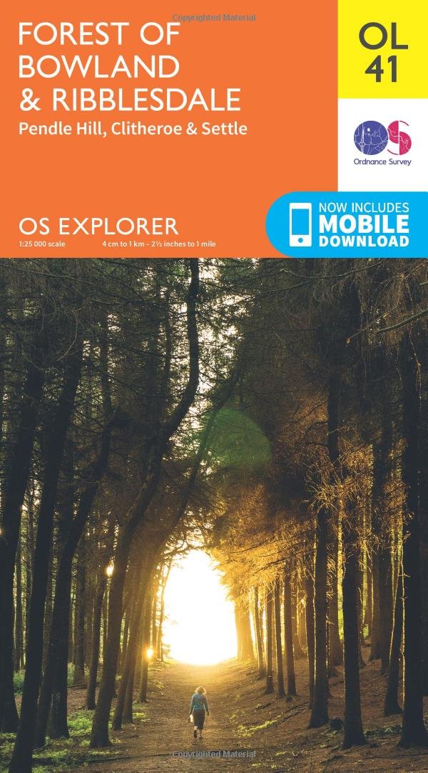
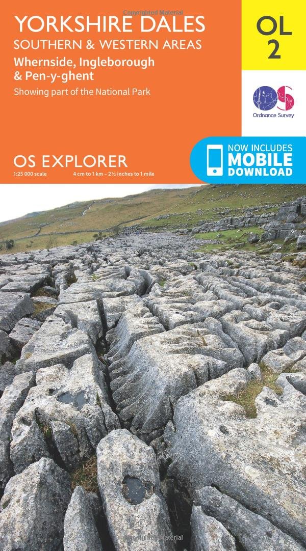
Experience the outstanding beauty of the Forest of Bowland, marvel at the Ribbleshead Viaduct near Settle and climb the bewitching, atmospheric Pendle Hill, with its dazzling views and bloody history. Discover Clitheroe, with its ruined abbeys, and Settle, the gateway to the Three Peaks and the starting point of the famous Settle-Carlisle railway line. Glimpse wildlife including hares, curlews, merlins and peregrine falcons, or stargaze in the clear skies of the International Dark Sky Reserve Visit Settle, in the shadow of Castleberg Crag, the weavers’ cottages of charming Barrowford and Clitheroe in the glorious Ribble Valley Walk or cycle some of the most peaceful and remote countryside in the British Isles along paths including the Pennine Way and Ribble Way OS Explorer Maps: 1:25 000 scale (4 cm to 1 km – 2½ inches to 1 mile). Great for walkers, hikers, cyclists, families, dog walkers, and horse riders. Includes roads, rights of way, permissive paths and bridleways, plus essential visitor information. Free digital download included. Other Ordnance Survey maps of Yorkshire and Lancashire include Lancaster, Morecambe & Fleetwood Explorer Map 296 and Yorkshire Dales: Southern & Western Area Explorer map OL2
Customer reviews
10 Trustpilot reviews total, with 2 shown at a time.
I wrote to Bigamart's customer support and they accompanied the process of reshipping the item until it finally arrived. I felt a genuine effort to solve the problem till it was finally solved.
The package was here in Australia from England in a few days — so quick! Something was missing and they refunded it straight away. Pretty happy with these guys.
You might also like