Ordnance Survey
⏳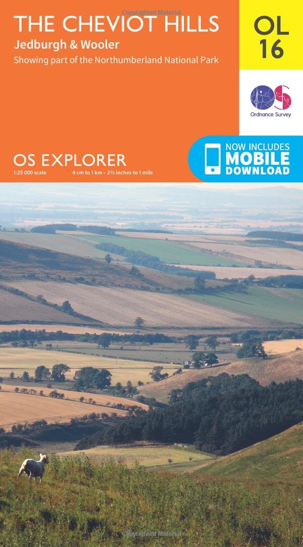
Discover the wild frontier hills of the Cheviots, straddling the border of England and Scotland, and charming towns with bloody histories such as Jedburgh and Wooler, the ‘gateway to the Cheviots’. Dramatic waterfalls, wild Cheviot goats and steep valleys carved by burns – it’s all waiting for you in this magnificent part of the Northumberland National Park, an International Dark Sky Reserve. Climb The Cheviot, the highest point in the Northumberland National Park at 815 metres, for panoramic views as far as Edinburgh Explore the Border town of Jedburgh with its action-packed history or visit Wooler, a popular base for walkers while history buffs will love nearby Chillingham Castle Walk, hike or cycle along two of the UK’s most iconic National Trails – the Pennine Way, running along the backbone of England, and St Cuthbert’s Way, an ancient pilgrimage route OS Explorer Maps: 1:25 000 scale (4 cm to 1 km – 2½ inches to 1 mile). Great for walkers, hikers, cyclists, families, dog walkers, and horse riders. Includes roads, rights of way, permissive paths and bridleways, plus essential visitor information. Free digital download included. Other Ordnance Survey maps of Northumberland include Galashiels, Selkirk & Melrose Explorer map 338 and Holy Island & Bamburgh Explorer map 340
Customer reviews
10 Trustpilot reviews total, with 2 shown at a time.
I wrote to Bigamart's customer support and they accompanied the process of reshipping the item until it finally arrived. I felt a genuine effort to solve the problem till it was finally solved.
The package was here in Australia from England in a few days — so quick! Something was missing and they refunded it straight away. Pretty happy with these guys.
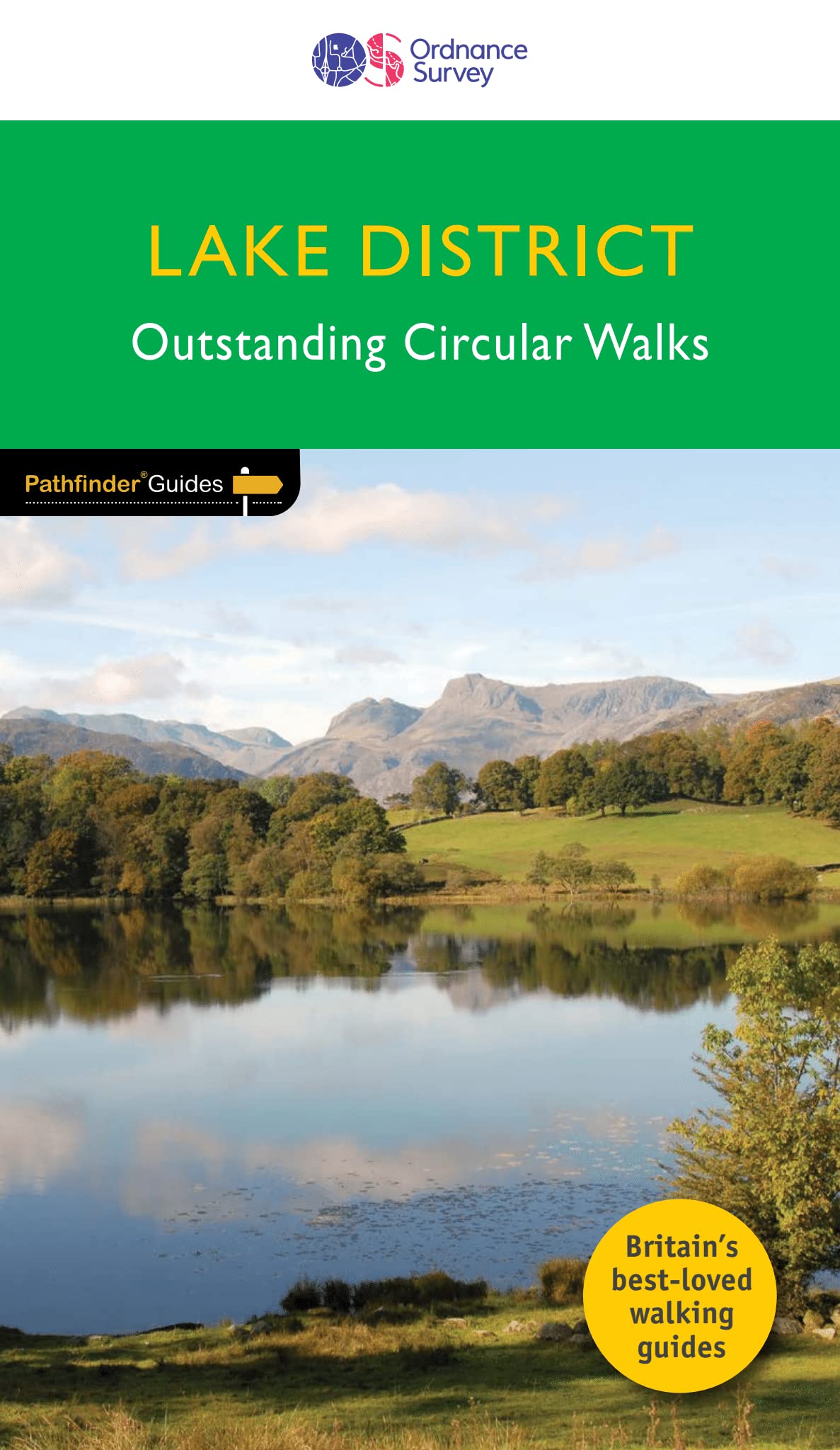
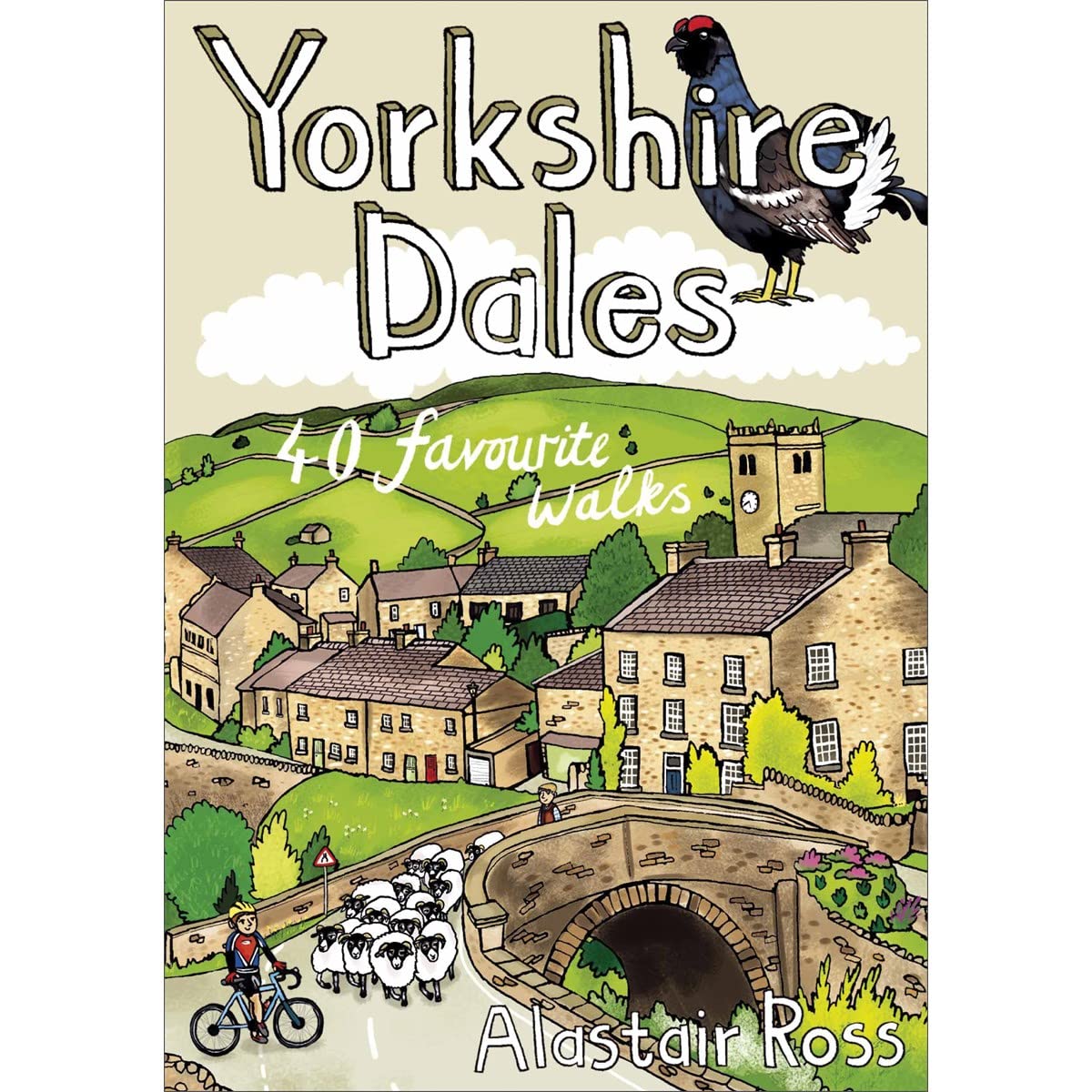
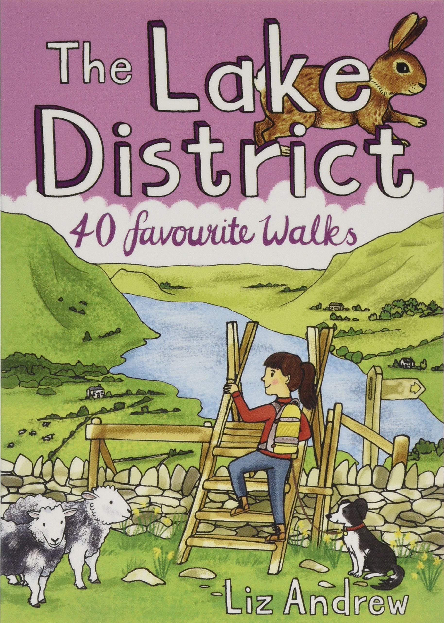
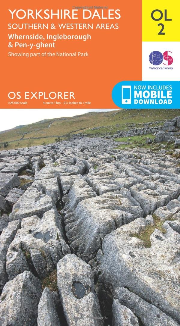
You might also like