Ordnance Survey
⏳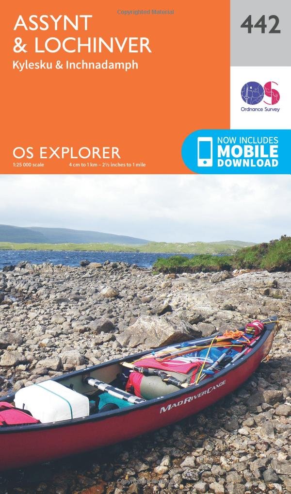
Experience the remote wilderness of Assynt, one of Scotland’s great hidden gems, its sublime mountains, pristine beaches and deep sea-lochs beloved by eco-tourists. Discover Lochinver and the exquisite beaches of Achmelvish, Clachtoll and Clashnessie, climb the iconic 731-metre peaks of Suilven and Stach Pollaidh and visit the gorgeous Wailing Widow Waterfall. Spot dolphins and wales from Stoer Lighthouse, the most westernly point of Assynt Cross the Kylesku Bridge, a 270-metre span across stunning Loch Assynt Walk, hike, cycle and climb amid the lochs, woodlands, mountains, moorlands and unspoiled coastline of Assynt OS Explorer Maps: 1:25 000 scale (4 cm to 1 km – 2½ inches to 1 mile). Great for walkers, hikers, cyclists, families, dog walkers, and horse riders. Includes roads, rights of way, permissive paths and bridleways, plus essential visitor information. Free digital download included. Other Ordnance Survey Explorer maps of Assynt-Coigach include Coigach & Summer Isles map 439 and Foinaven, Arkle, Kylesku & Scourie map 445
Customer reviews
10 Trustpilot reviews total, with 2 shown at a time.
I wrote to Bigamart's customer support and they accompanied the process of reshipping the item until it finally arrived. I felt a genuine effort to solve the problem till it was finally solved.
The package was here in Australia from England in a few days — so quick! Something was missing and they refunded it straight away. Pretty happy with these guys.
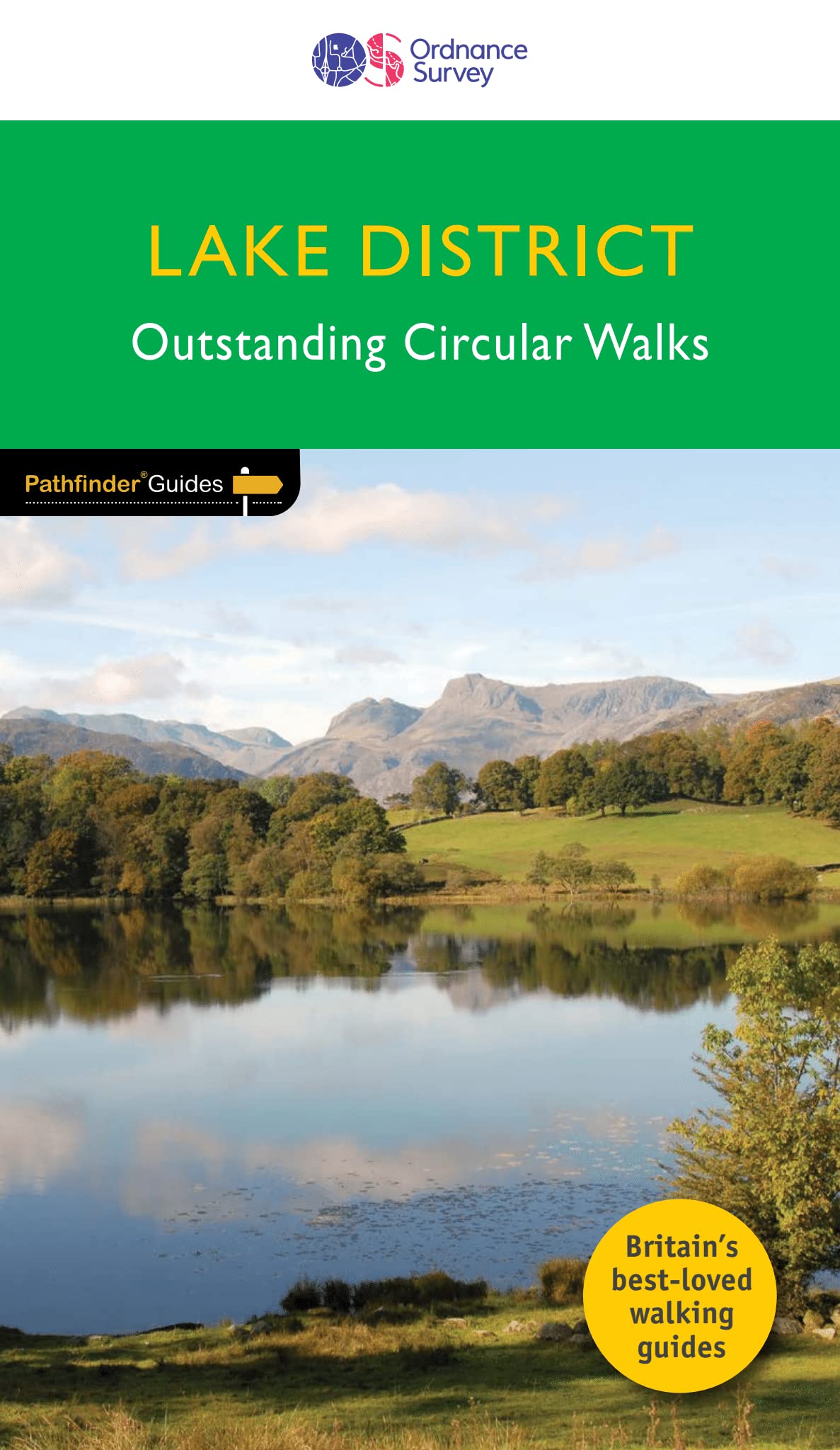
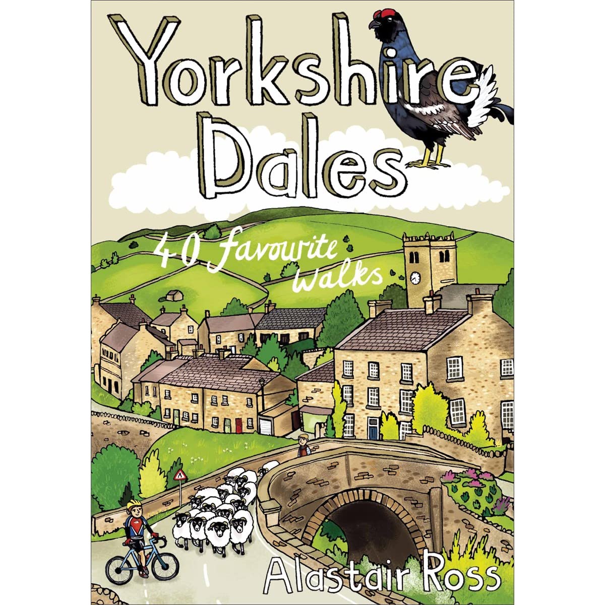
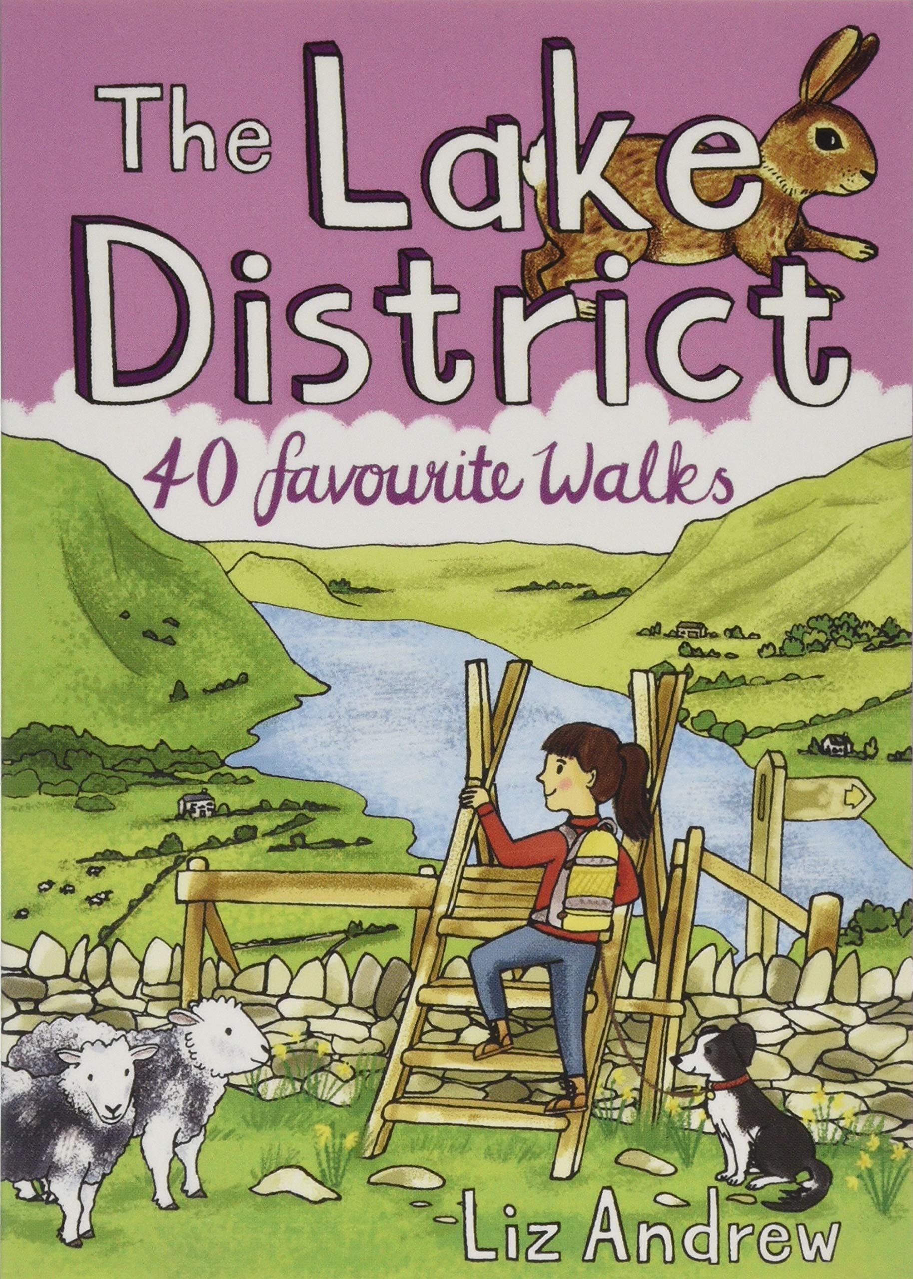
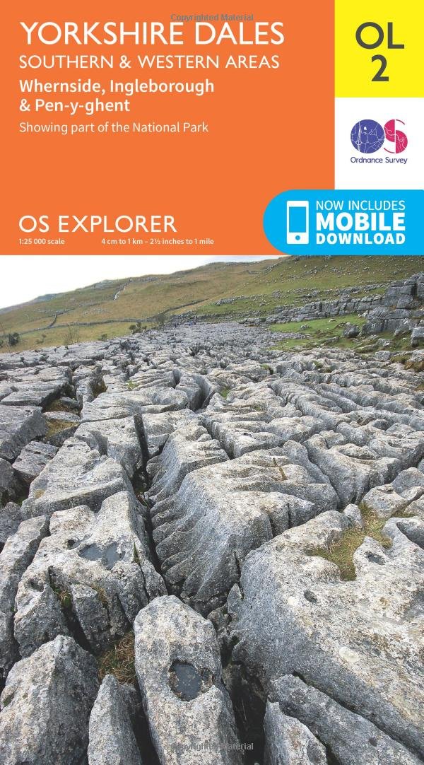
You might also like