Ordnance Survey
⏳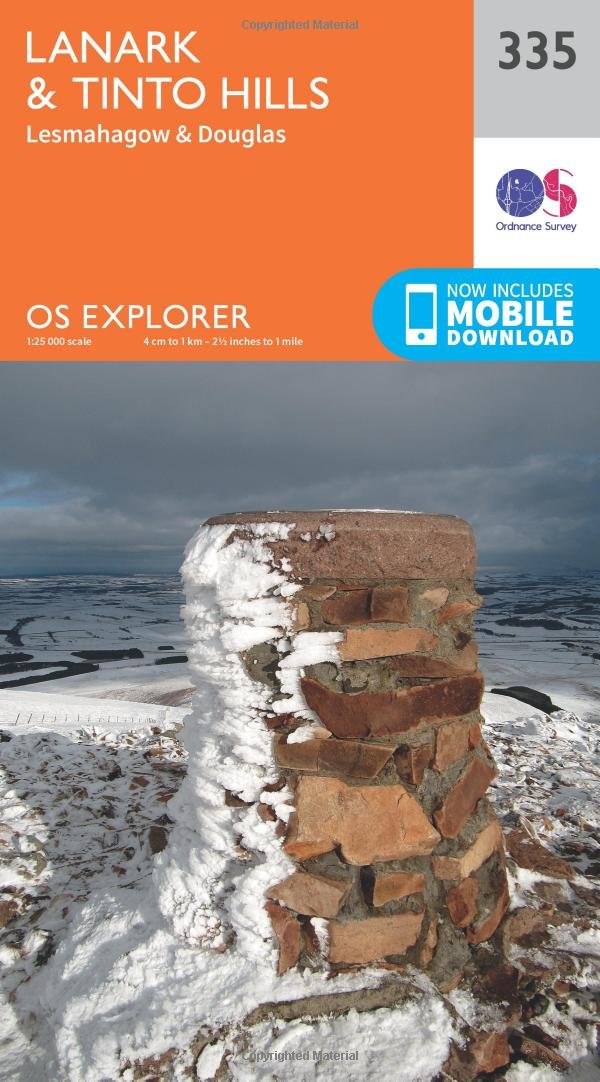
Explore the historic market town of Lanark and the nearby UNESCO World Heritage Site of New Lanark. Start the Clyde Walkway from the magnificent Falls of Clyde to see orchards and wooded gorges on foot or by bike. - Climb Tinto Hill, the highest point in central Scotland, for incredible panoramic views stretching as far as the Lake District, Northern Ireland and the Cairngorms - Visit the historic villages of Lesmahagow and Douglas - Walk, hike or cycle along the Clyde Walkway and other popular recreational paths through the historic county of Lanarkshire OS Explorer Maps: - 1:25,000 scale (4 cm to 1 km – 2½ inches to 1 mile). - Great for walkers, hikers, cyclists, families, dog walkers, and horse riders. - Includes roads, rights of way, permissive paths and bridleways, plus essential visitor information. - Free digital download included. - Other Ordnance Survey Explorer maps of the Clyde Walkway include Motherwell & Coatbridge map 343 and Glasgow map 342.
Customer reviews
10 Trustpilot reviews total, with 2 shown at a time.
I wrote to Bigamart's customer support and they accompanied the process of reshipping the item until it finally arrived. I felt a genuine effort to solve the problem till it was finally solved.
The package was here in Australia from England in a few days — so quick! Something was missing and they refunded it straight away. Pretty happy with these guys.
You might also like