Ordnance Survey
⏳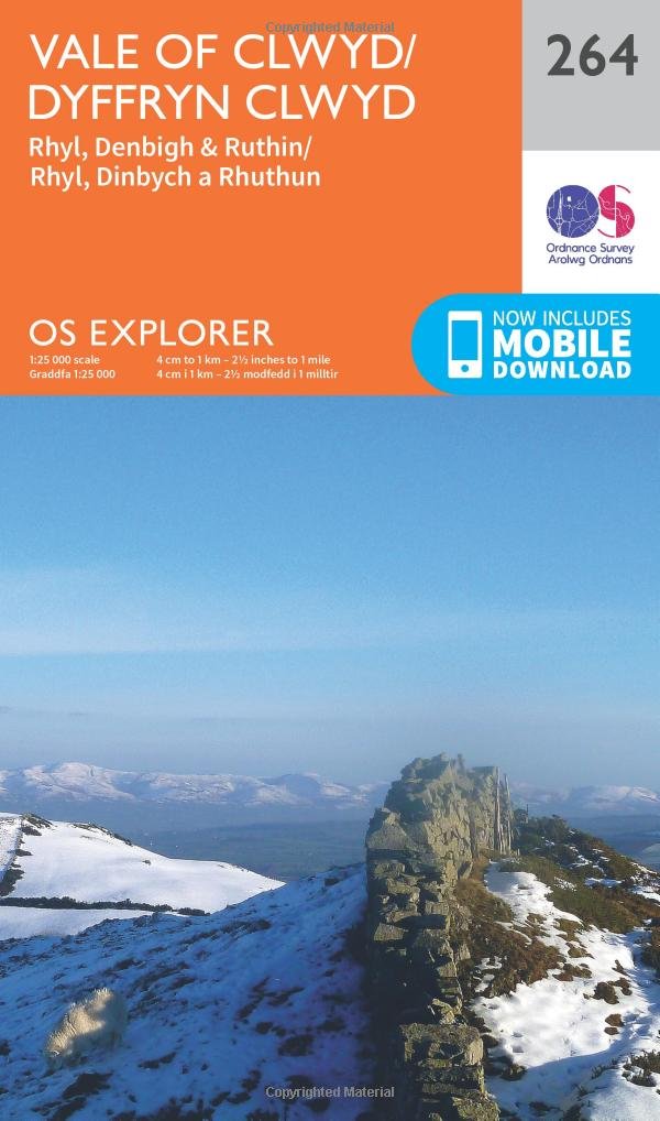
Explore the breathtaking Vale of Clwyd and the gorgeous hillsides, forests and heathlands of north-east Wales and Denbighshire. Discover historic Denbigh, home to more listed buildings than anywhere else in Wales, and Denbigh Castle, perhaps Wales’ most picturesque ruined castle. Take the Wales Coast Path through the sandy beaches and traditional seaside towns of Rhyl, Prestatyn and Llandulais Follow the circular Clwydian Way through the stunning countryside to the heritage-rich town of Ruthin Walk, hike or cycle along Offa’s Dyke Path and popular recreational paths including the Clwydian Way, Hiraethog Trail and Wales Coast Path OS Explorer Maps: 1:25 000 scale (4 cm to 1 km – 2½ inches to 1 mile). Great for walkers, hikers, cyclists, families, dog walkers, and horse riders. Includes roads, rights of way, permissive paths and bridleways, plus essential visitor information. Free digital download included. Other Ordnance Survey Explorer maps of north Wales include Wrexham & Llangollen map 256 and Harlech, Porthmadog & Y Bala map OL18.
Customer reviews
10 Trustpilot reviews total, with 2 shown at a time.
I wrote to Bigamart's customer support and they accompanied the process of reshipping the item until it finally arrived. I felt a genuine effort to solve the problem till it was finally solved.
The package was here in Australia from England in a few days — so quick! Something was missing and they refunded it straight away. Pretty happy with these guys.
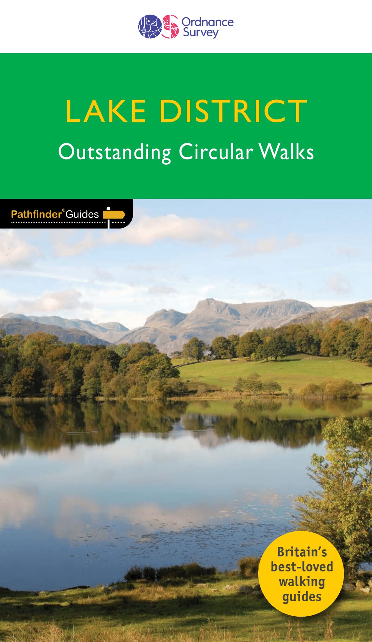
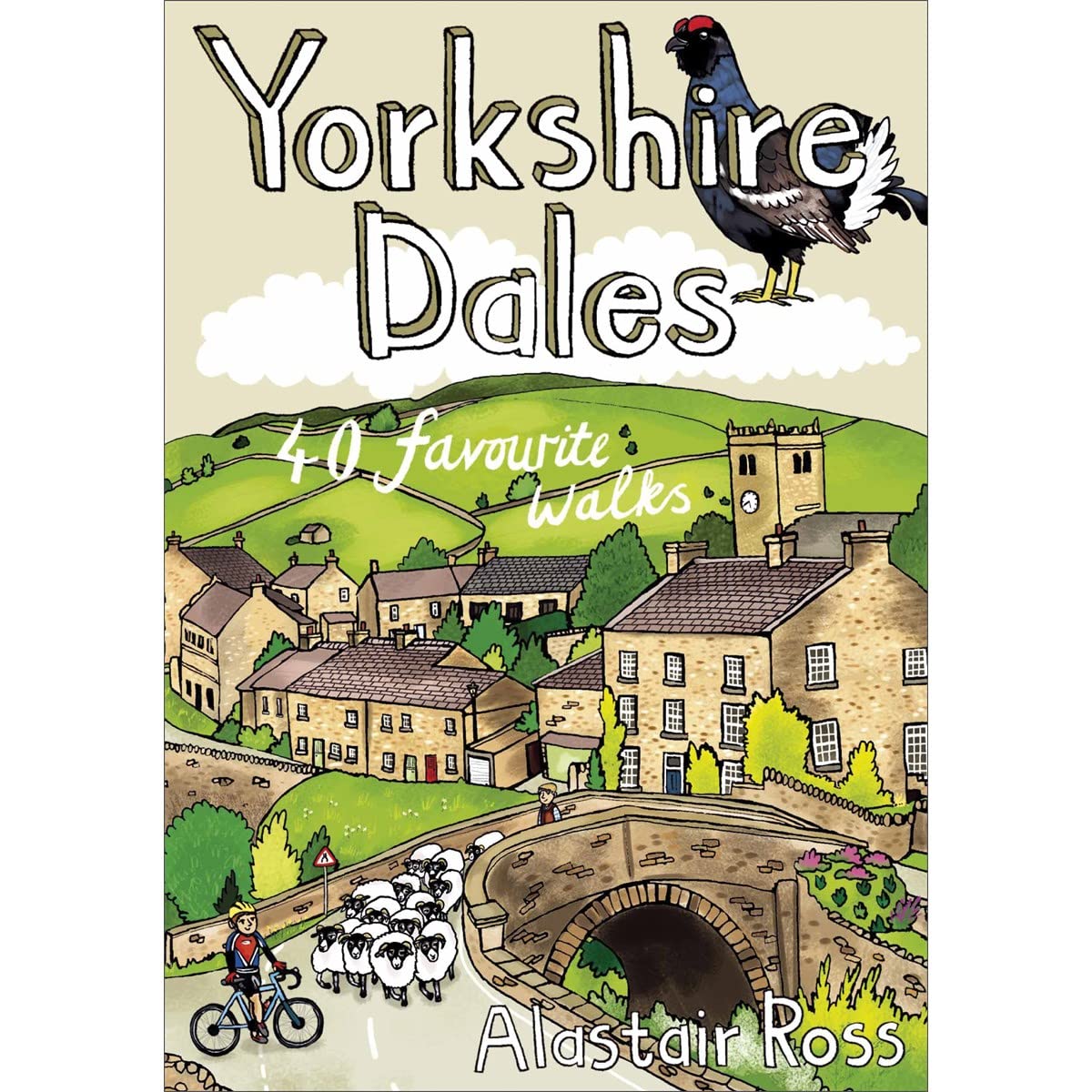
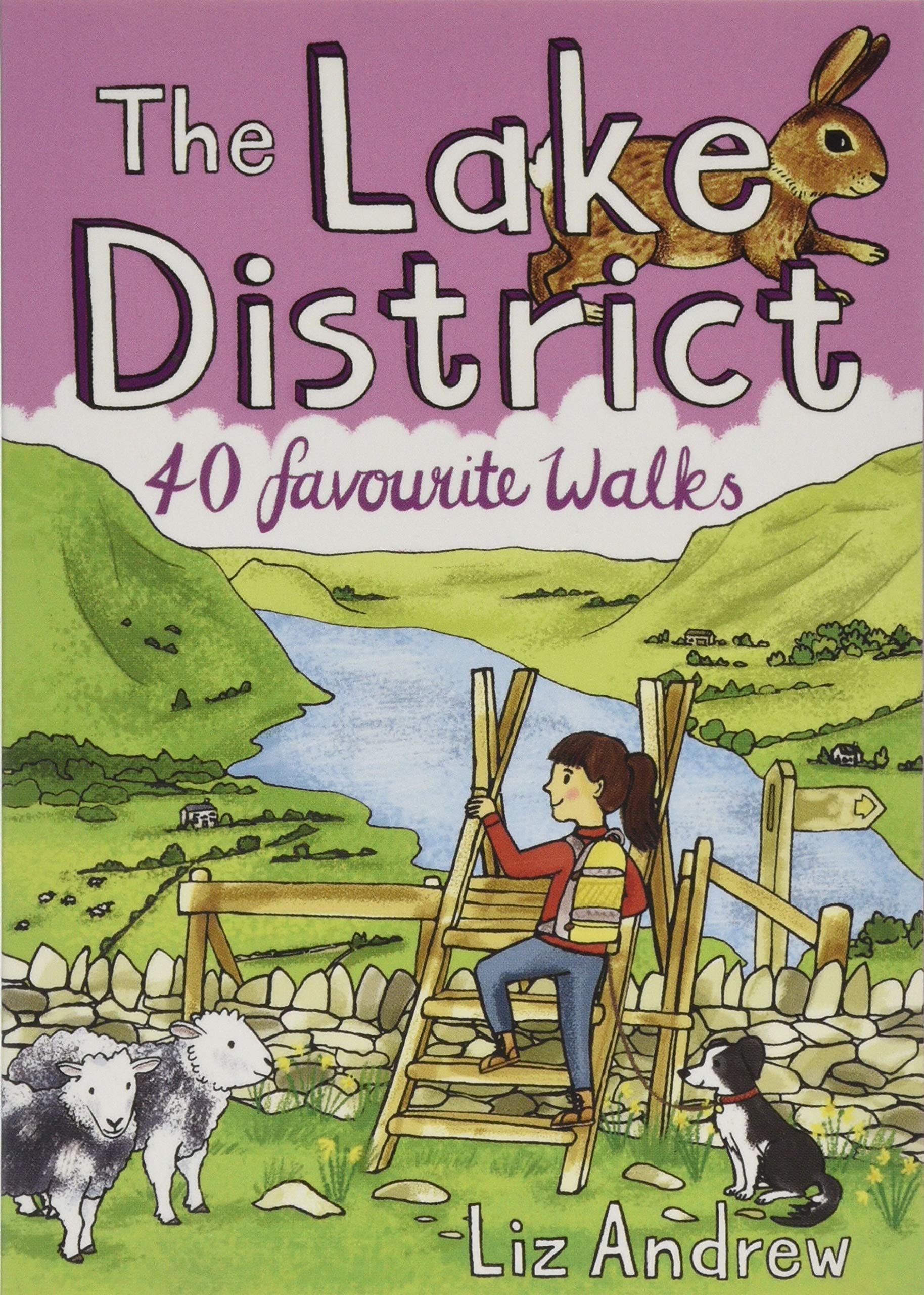
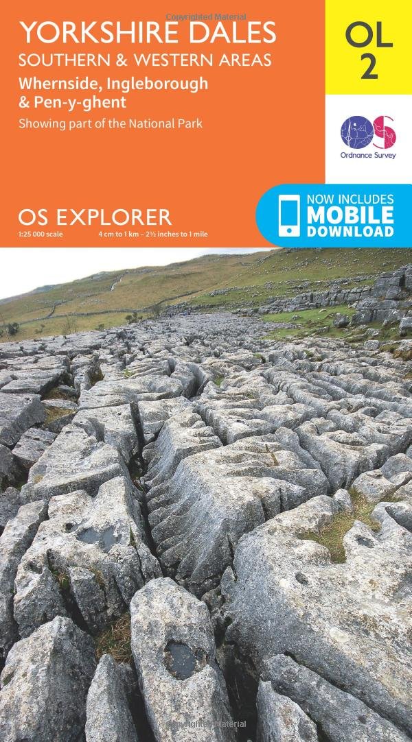
You might also like