Ordnance Survey
⏳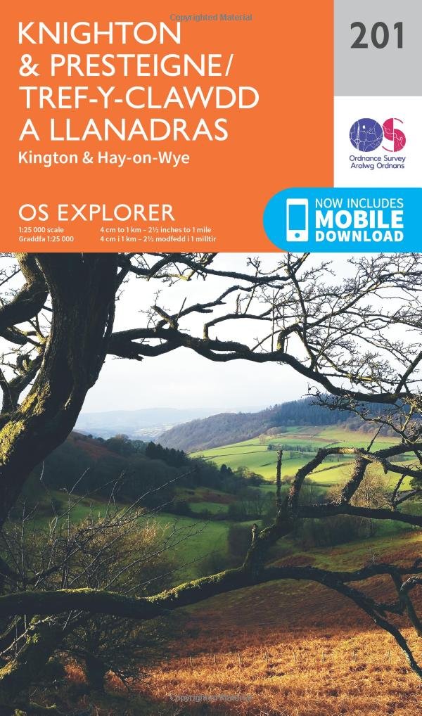
Take the Offa’s Dyke Path from Hay-on-Wye, the bookshop town nestled in the beautiful Wye Valley, north to Hergest Ridge with spectacular 360-degree views. Follow the route to Kington and to Knighton, the only town to lie on the line of the dyke and the ‘spiritual home’ of King Offa’s spectacular eighth-century dyke. Explore the border market towns of Knighton, Kington and Presteigne on the River Lugg Take Offa’s Dyke Path north to the spectacular Shropshire Hills or discover the beautiful Marches Walk, hike or cycle along recreational paths including the Herefordshire Trail, Jack Mytton Way, Mortimer Trail, Shropshire Way and Wye Valley Walk OS Explorer Maps: 1:25 000 scale (4 cm to 1 km – 2½ inches to 1 mile). Great for walkers, hikers, cyclists, families, dog walkers, and horse riders. Includes roads, rights of way, permissive paths and bridleways, plus essential visitor information. Free digital download included. Other Ordnance Survey Explorer maps of the Shropshire Hills include the Long Mynd & Wenlock Edge map 217 and Llanidloes & Newton map 214
Customer reviews
10 Trustpilot reviews total, with 2 shown at a time.
I wrote to Bigamart's customer support and they accompanied the process of reshipping the item until it finally arrived. I felt a genuine effort to solve the problem till it was finally solved.
The package was here in Australia from England in a few days — so quick! Something was missing and they refunded it straight away. Pretty happy with these guys.
You might also like