Ordnance Survey
⏳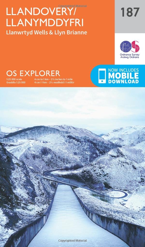
Explore the shores of Llyn Brianne, South Wales’ largest body of water, set in stunning Carmathenshire countryside at the end of the Towy Valley. Discover Llandovery and Llanwrtyd Wells, Welsh towns with their own unique flavour, acting as a gateway to the Cambrian Mountains. - Unearth gold mines dating back to Roman times at Dolaucothi Gold Mines - Catch the Heart of Wales line from Llandovery to Llanwrtyd Wells, the one-time spa town now the home of bog snorkelling in Wales - Walk, hike or cycle through the Brecon Beacons, Towy Valley and Camarthenshire, and climb to the highest dam in Wales at Llyn Brianne OS Explorer Maps: - 1:25,000 scale (4 cm to 1 km – 2½ inches to 1 mile). - Great for walkers, hikers, cyclists, families, dog walkers, and horse riders. - Includes roads, rights of way, permissive paths and bridleways, plus essential visitor information. - Free digital download included. - Other Ordnance Survey Explorer maps of the Brecon Beacons include Brecon Beacons National Park maps OL12 and OL13.
Customer reviews
10 Trustpilot reviews total, with 2 shown at a time.
I wrote to Bigamart's customer support and they accompanied the process of reshipping the item until it finally arrived. I felt a genuine effort to solve the problem till it was finally solved.
The package was here in Australia from England in a few days — so quick! Something was missing and they refunded it straight away. Pretty happy with these guys.
You might also like