Little Wigwam
✓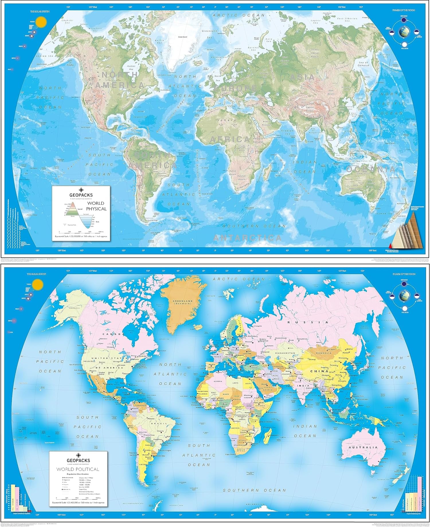
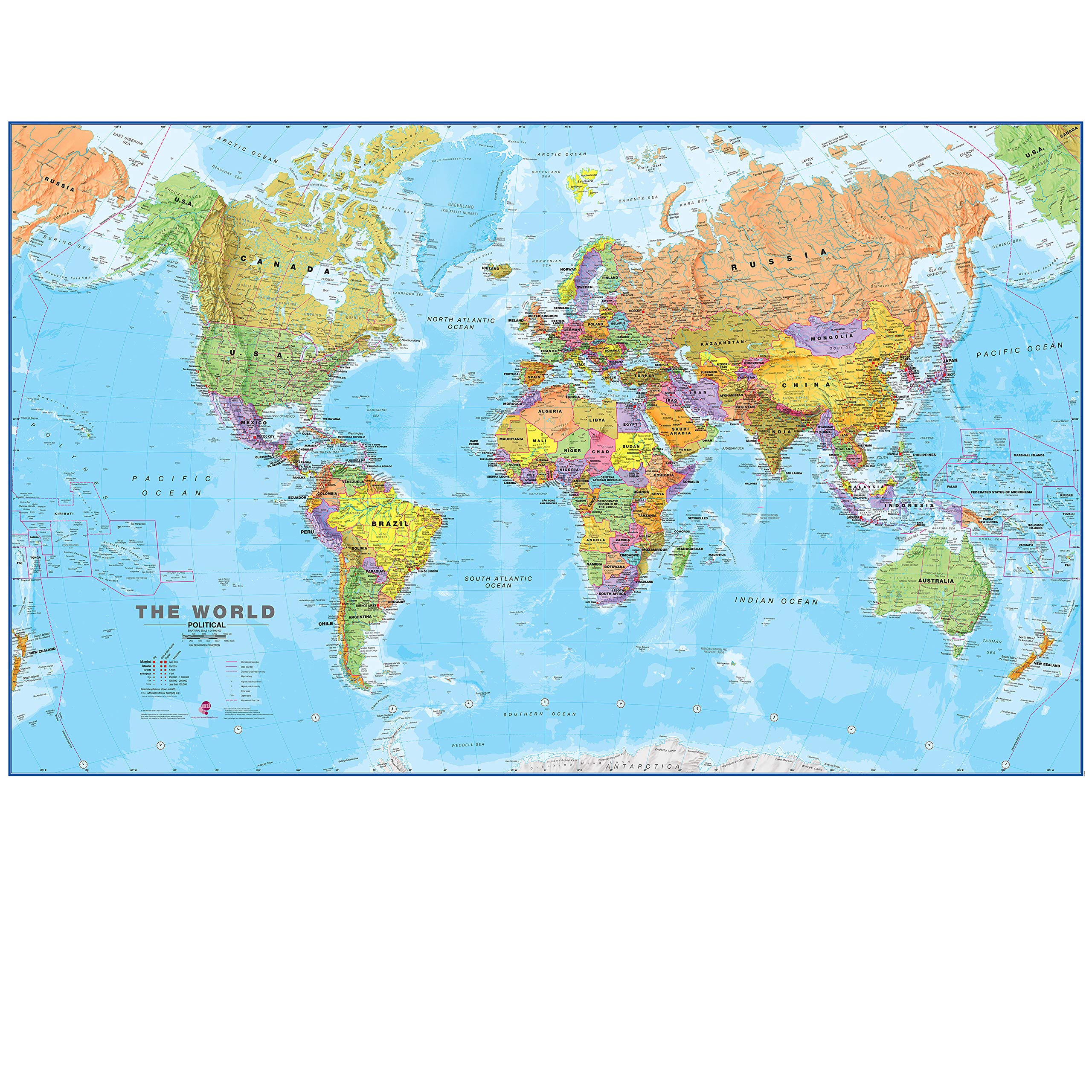
Children's World Map - Reversible Laminated Political/Physical Wall MapSpecifically designed for use in schools, the cartography uses large, clear details and vibrant colours to create easy-to-use reference tools that multiple pupils can use together. These maps are not only an excellent teaching tool but also a stunning addition to any classroom wall. The political side includes improved detailing between countries whilst the physical side includes improved height and bathymetric data.Representing excellent value for money, each map in this range is printed on both sides and you choose either the political or the physical base for teaching. Like all of our maps, the reversible range is encapsulated in a heavy duty film. This makes the maps virtually indestructible as well as giving them a wipe on/wipe off finish. All maps come complete with an easy-to-use hanging system. At Geopacks we are conscious of our environmental responsibilities and we have taken care to ensure that these new maps are printed in the UK using soy-based inks on chlorine-free paper sourced from FSC accredited companies.WorldBased on the Van Der Grinten projection, the political side of the World map displays international political boundaries, including ones which are disputed, with capital cities clearly marked. The physical side includes rivers, mountain ranges, land height and bathymetric data. Both sides of the map feature inserts showing the layout of the solar system and phases of the moon. Other features include graphics showing the six longest rivers and highest mountains and rank the four largest countries by population and land mass in comparison to the British Isles. Encapsulated and supplied with hanging strips.Size: 81 x 128cm Scale: 1: 33 450 000
Customer reviews
10 Trustpilot reviews total, with 2 shown at a time.
I wrote to Bigamart's customer support and they accompanied the process of reshipping the item until it finally arrived. I felt a genuine effort to solve the problem till it was finally solved.
The package was here in Australia from England in a few days — so quick! Something was missing and they refunded it straight away. Pretty happy with these guys.
You might also like