Ordnance Survey
⏳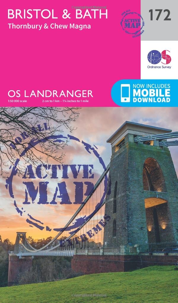
Explore vibrant Bristol and historic Bath, two of England’s most beloved cities and less than an hour’s train ride apart. From the Cotswolds to the Severn estuary and the Mendip Hills, this area of the west of England is packed with natural and heritage highlights. Experience Regency Bath, a World Heritage Site, and Bristol with its spectacular Clifton Bridge across the Avon Gorge and its contemporary art scene Discover beautiful villages like Chipping Sodbury and Chew Magna, and the coastal town of Clevedon with its legendarily beautiful pier Walk, hike and cycle along the Cotswold Way to Bath, or start Offa’s Dyke Path in Chepstow on the other side of the Severn OS Landranger Active Maps: 1:50 000 scale (2 cm to 1 km – 1¼ inches to 1 mile). Laminated with a weatherproof finish, also suitable for dry-wipe pens. Covers larger area in less detail. Ideal for long distance walking, cycling, family days out and more. Includes roads, rights of way, permissive paths and bridleways, plus essential visitor information. Free digital download included. Other Ordnance Survey Landranger maps of the Cotswold Way include Gloucester & Forest of Dean map 162 and Worcester & the Malverns map 150
Customer reviews
10 Trustpilot reviews total, with 2 shown at a time.
I wrote to Bigamart's customer support and they accompanied the process of reshipping the item until it finally arrived. I felt a genuine effort to solve the problem till it was finally solved.
The package was here in Australia from England in a few days — so quick! Something was missing and they refunded it straight away. Pretty happy with these guys.
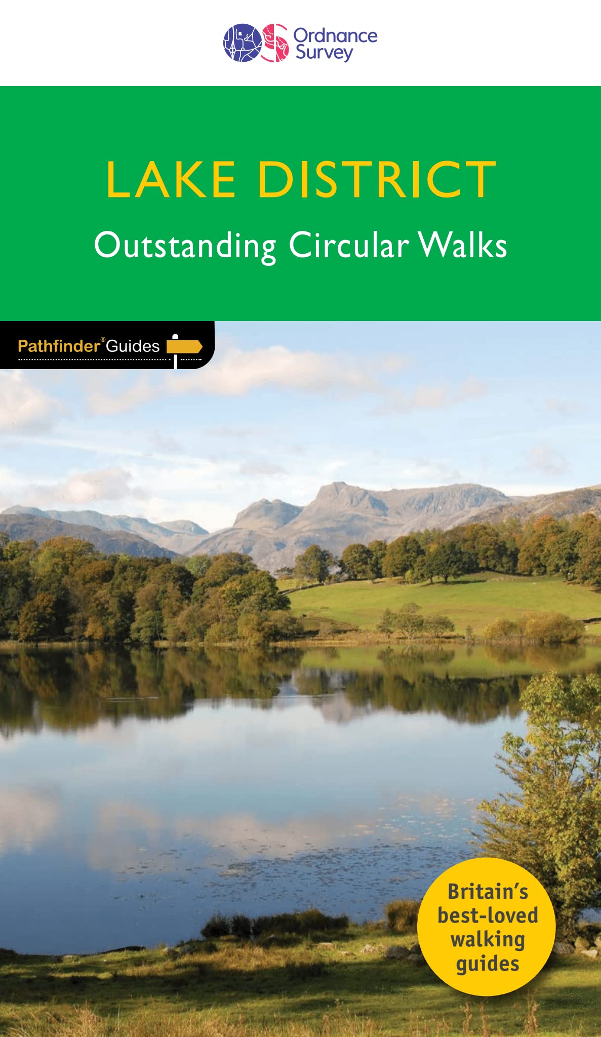
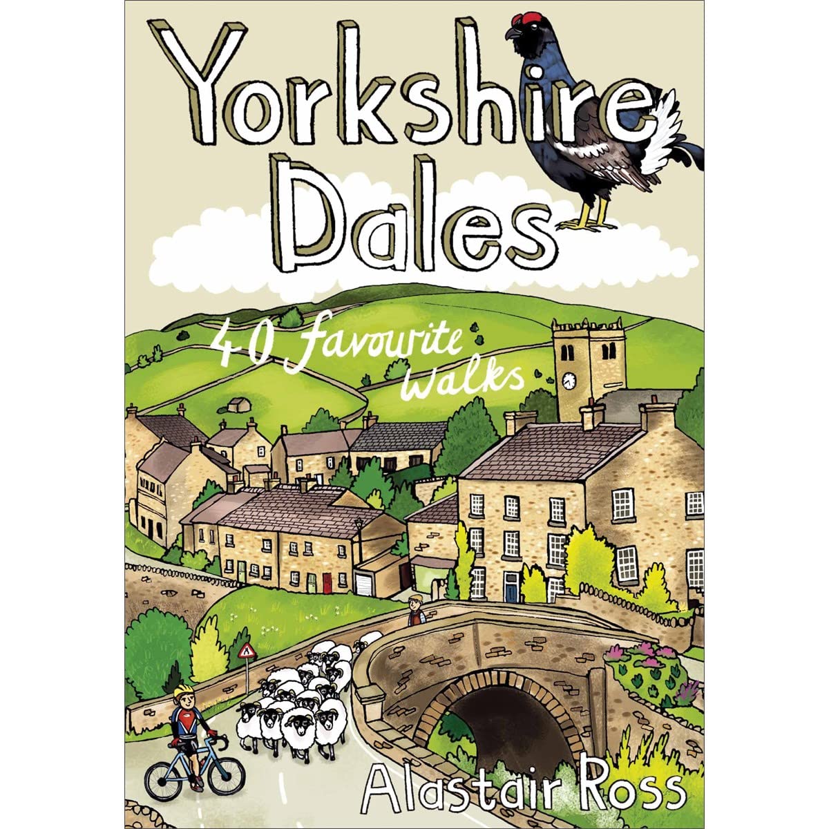
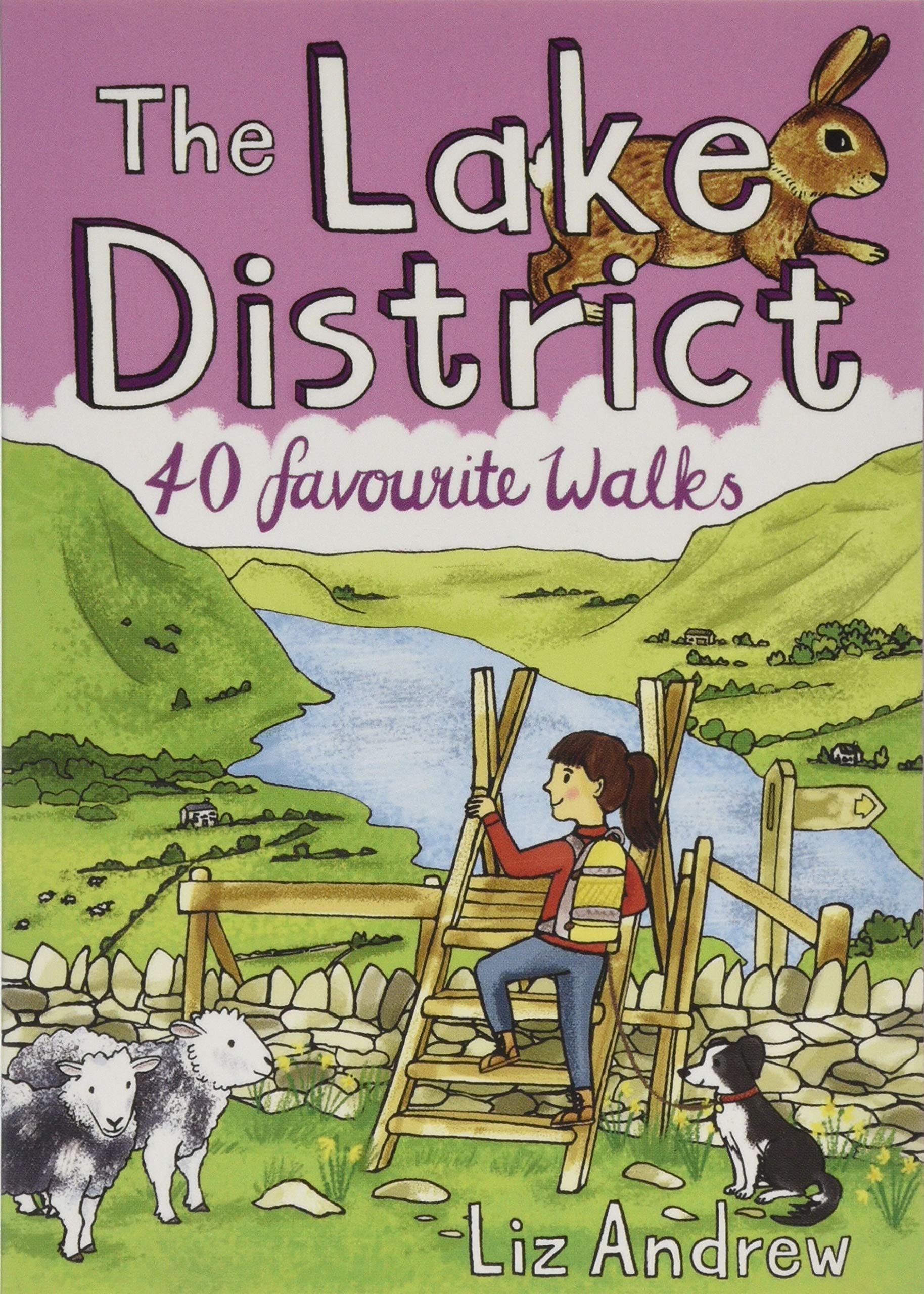
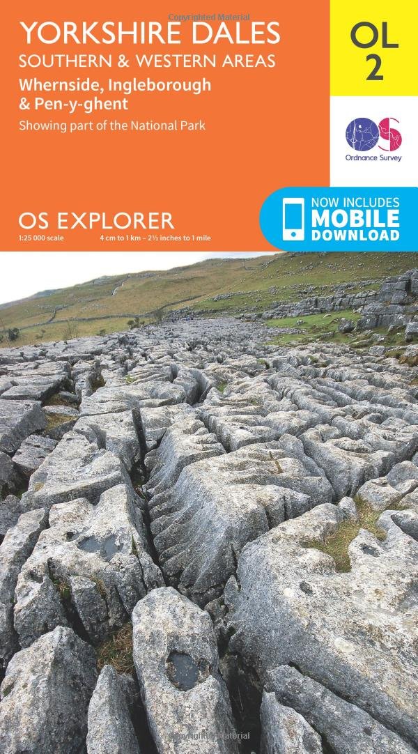
You might also like