Ordnance Survey
⏳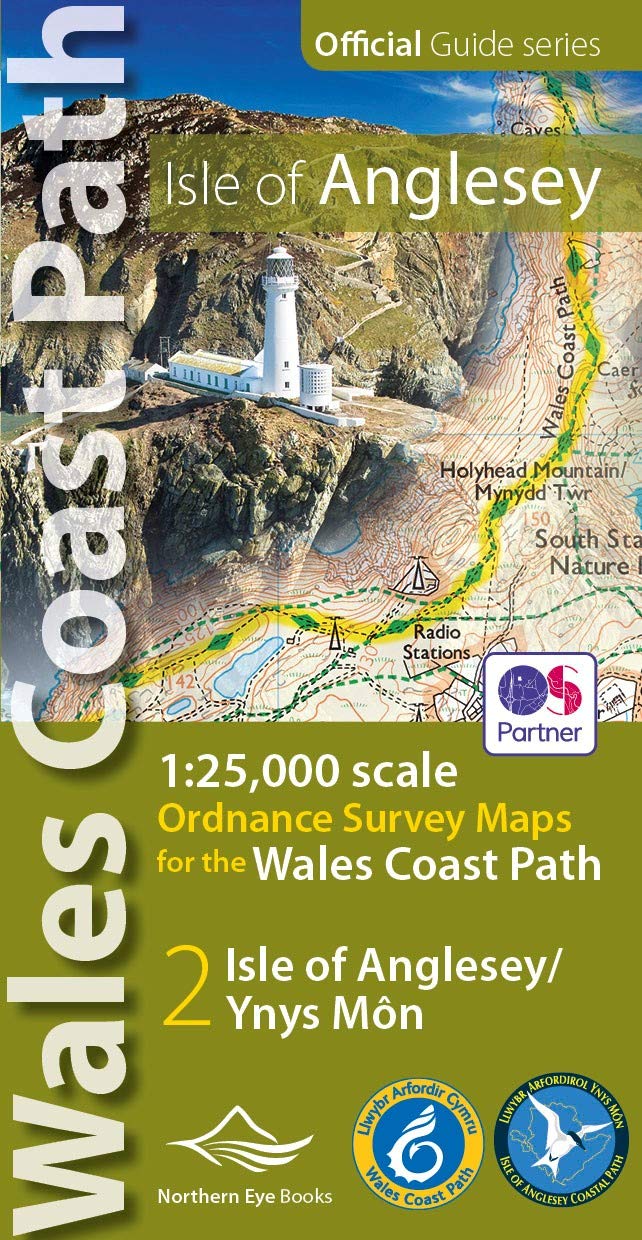
OS Map Books: Wales Coast Path: Isle of Anglesey/Ynys Mon Coast Path Map Atlas | Ordnance Survey ‘Explorer’ Large-scale 1:25,000 maps for the Isle of Anglesey in compact book format | Pocket Atlas | Walking Wales | UK Long-Distance Trails | Hiking | Adventure One of seven handy Ordnance Survey Map Books covering the entire 870 mile/1400 kilometre-long, world-class Wales Coast Path — from Chester in the north to Chepstow in the south. Enjoy enhanced, large scale (1:25,000) Ordnance Survey Explorer mapping in compact atlas format with all the detailed mapping you need to walk the Isle of Anglesey/Ynys Mon section of the Wales Coast Path. Continuous, full colour OS mapping covering the Wales Coast Path between Bangor and Menai Bridge. Contains extracts from large scale Explorer maps 253 and 254. The enhanced OS 1:25,000 maps are accurate, up-to-date and reliable. Additional map symbols show tea shops, cafes, extra parking, and public toilets. A brief introduction to Anglesey/Ynys Mon includes a fascinating photo mosaic highlighting notable views, places of interest and wildlife you’ll meet along the way. There is also a section of detailed Useful Information at the back of the atlas. Laminated flapped covers showing Wales Coast Path signs and waymarkers, route details and map symbols make these atlases simple and easy to use. The map books’ dimensions are 215mm x 107mm and they fit easily into a standard map pocket. Key features: • Large scale OS mapping for the complete coast of the Isle of Anglesey/Ynys Mon in a handy atlas format • Highlighted, up-to-date official route of the Wales Coast Path • On-map symbols showing amenities at main towns and villages • Introduction with attractive photo mosaic of places long the way • Additional useful information on accommodation, food, drink, toilets and more … The Isle of Anglesey/Ynys Mon is an Area of Outstanding Natural Beauty (AONB) famed for its rugged and varied coast, ancient monuments and coastal wildlife. Highlights include: • Tidal Menai Strait, islands and bridges • Medieval Beaumaris Castle • Prehistoric monuments and standing stones • Rare red squirrel stronghold • South Stack lighthouse and steps • Llanddwyn Island, Newborough Forest and dunes This easy-to-use, versatile map book is light and fits easily in a bag or pocket. Each map book matches one of the seven sections covered by the Official Guidebooks. Sec-tions include: 1: North Wales Coast, 2: Isle of Anglesey, 3: Llyn Peninsula, 4: Snowdo¬nia & Ceredigion Coast, 5: Pembrokeshire, 6: Carmarthen Bay & Gower, and 7: South Wales Coast. These pocket map atlases are the ideal gift for walkers and other outdoors activities.
Customer reviews
10 Trustpilot reviews total, with 2 shown at a time.
I wrote to Bigamart's customer support and they accompanied the process of reshipping the item until it finally arrived. I felt a genuine effort to solve the problem till it was finally solved.
The package was here in Australia from England in a few days — so quick! Something was missing and they refunded it straight away. Pretty happy with these guys.
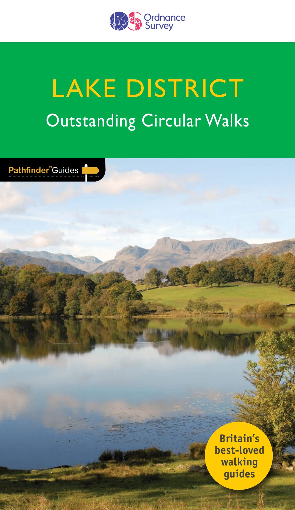
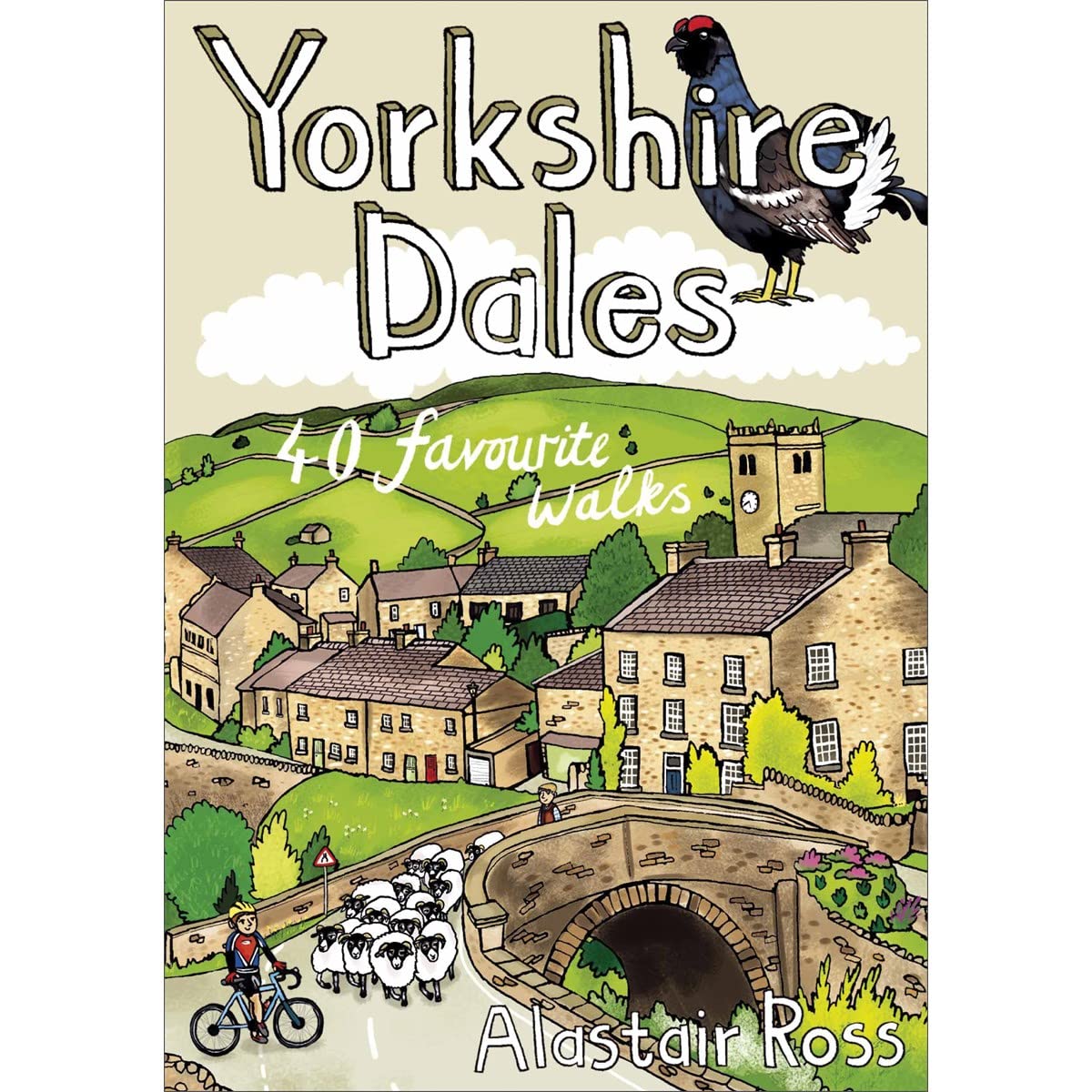
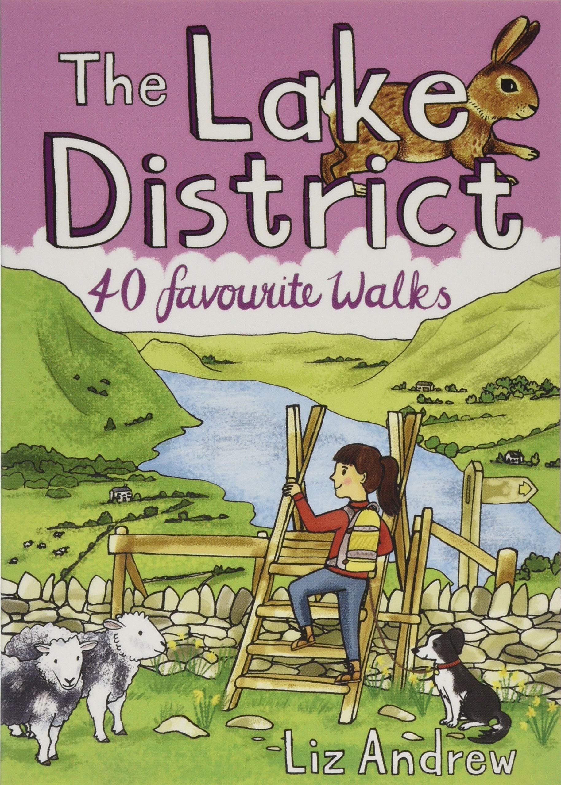
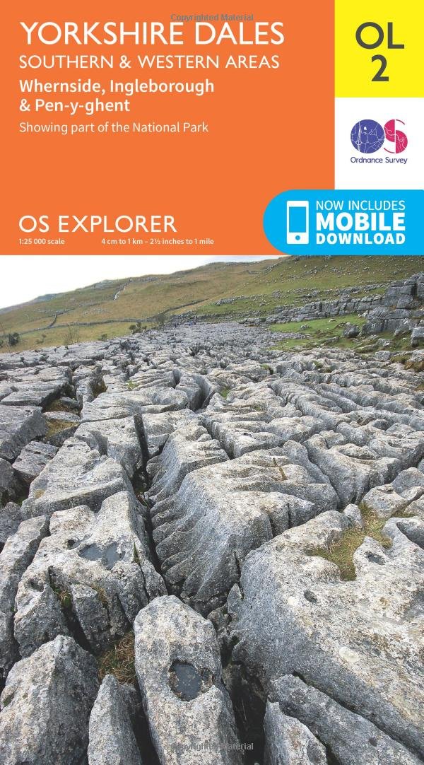
You might also like