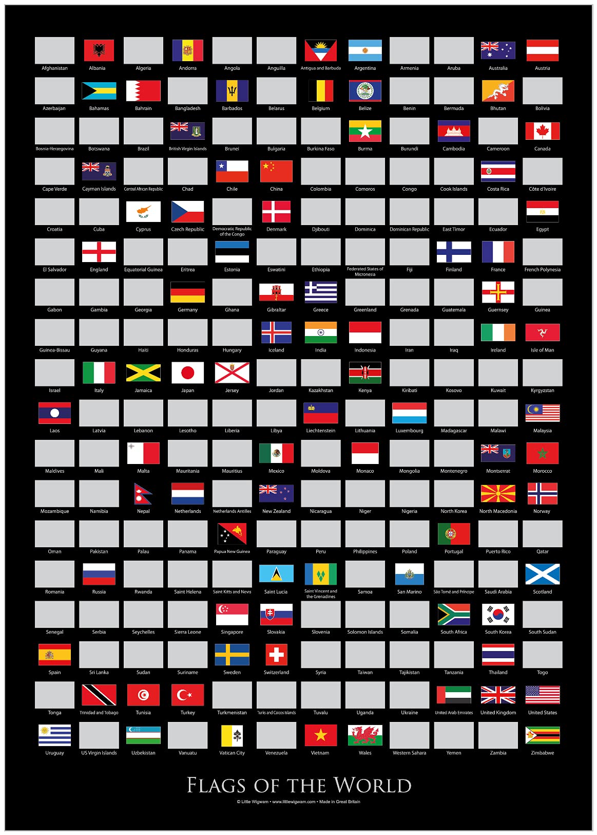
Little Wigwam
✓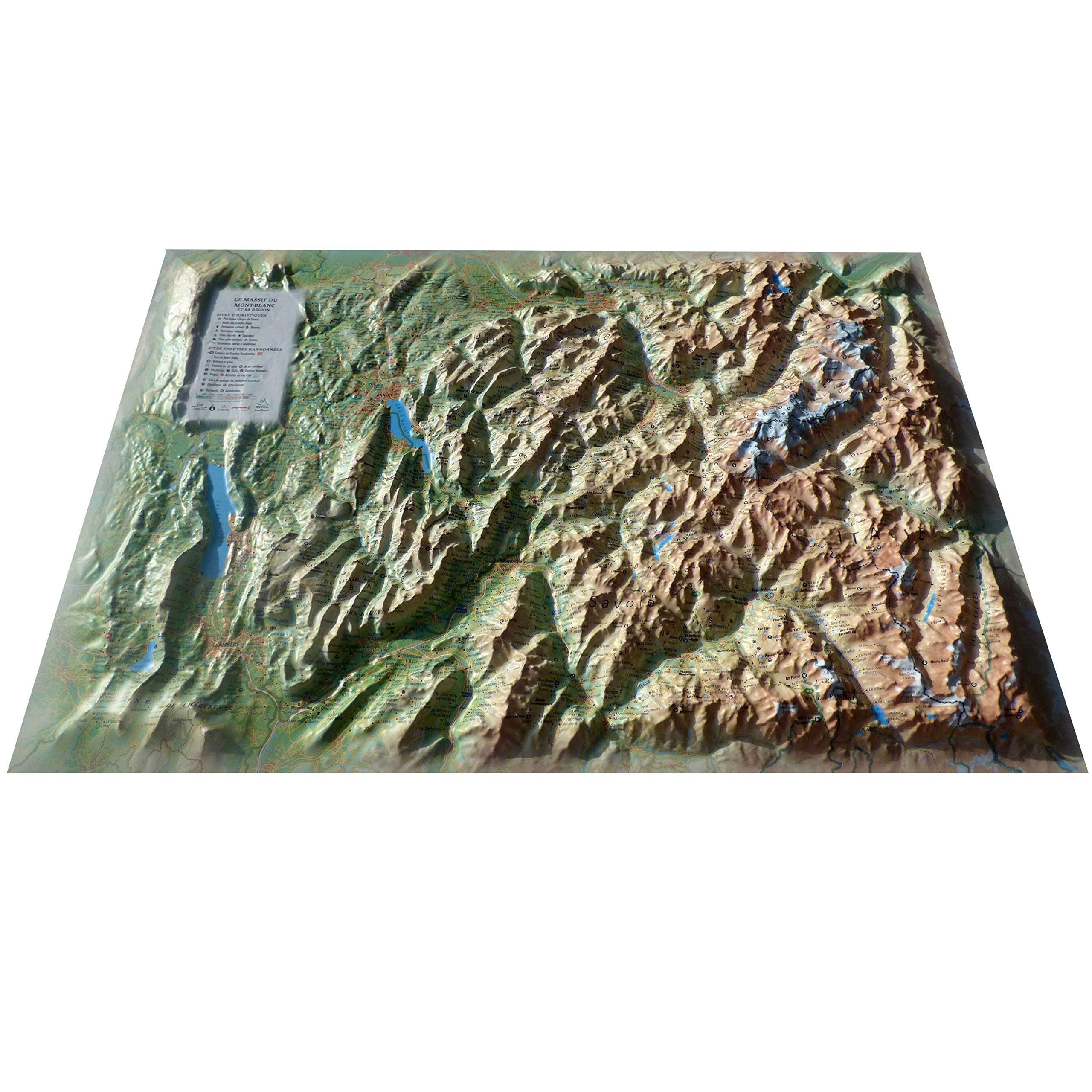
Legend: - Donnees general: • Les données hydrologiques, naturelles et hypsométriques – Les données administratives - SITES TOURISTIQUES : • Plus beaux villages de France • Patrimoine culturel • Musées • Patrimoine religieux • Sites naturels • Cascades • Sites préhistoriques • Grottes • Belvédères, tables d'orientation - Sites Sportifs, Randonnees: • Sentiers de Grandes Randonnées • Refuges et gîtes • Stations de ski alpin, de ski nordique • Via Ferrata. • Golf. • Stations thermales • Plages • Activités en eau vive • Sites de pratique du parapente (www.ffvl.fr) • Décollages, atterrissages. • Aéroports, Aérodromes - Echelle / dimensions: • 1: 210,000. • 61cm x 41cm
Customer reviews
10 Trustpilot reviews total, with 2 shown at a time.
I wrote to Bigamart's customer support and they accompanied the process of reshipping the item until it finally arrived. I felt a genuine effort to solve the problem till it was finally solved.
The package was here in Australia from England in a few days — so quick! Something was missing and they refunded it straight away. Pretty happy with these guys.
You might also like