Ordnance Survey
⏳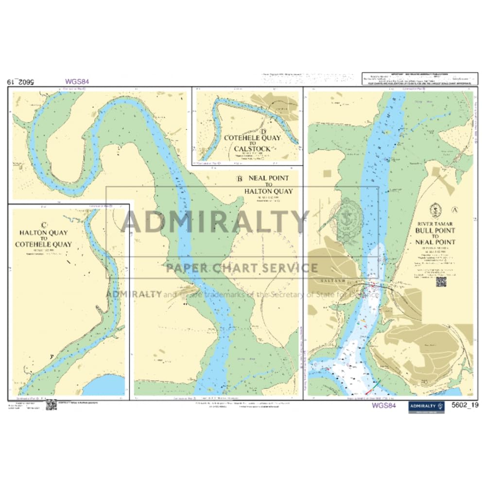
The Admiralty Small Craft Chart series is a trusted navigation reference for UK and Irish waters, developed by the UK Hydrographic Office. Specially designed for small craft, these sheets highlight key coastal features, slipways, racing marks, harbours, and marinas. They are printed on demand with the latest updates applied at the time of printing, ensuring accuracy for safe passage planning. Each sheet measures 535 x 715 mm, with an A2-sized printed area (420 x 594 mm). A QR code provides access to essential navigation resources, including tidal data, symbols, and radio services. Printed on official Admiralty watermarked paper, the same material used for standard Admiralty charts, these sheets are recognised by the Maritime and Coastguard Agency (MCA) for Code vessels and fishing boats under 24 metres. This listing is for a single sheet, supplied rolled in a sturdy tube for safe delivery.
Customer reviews
10 Trustpilot reviews total, with 2 shown at a time.
I wrote to Bigamart's customer support and they accompanied the process of reshipping the item until it finally arrived. I felt a genuine effort to solve the problem till it was finally solved.
The package was here in Australia from England in a few days — so quick! Something was missing and they refunded it straight away. Pretty happy with these guys.
You might also like