Ordnance Survey
⏳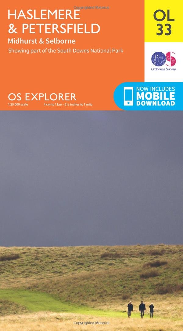
Experience the fascinating history and dazzling rural beauty of the South Downs National Park and Surrey Hills. Visit Jane Austen’s house in Chawton or take the Zig Zag Path cut by pioneering naturalist Gilbert White into the hills above the thatched cottages of Selborne. Join the Greensand Way at Haslemere, or take the Serpent Trail to enjoy the breathtaking heathland of the greensand hills and South Downs National Park Discover historic Haslemere in the Surrey Hills, charming Midhurst and beautiful Selborne, the village made famous by pioneering naturalist Gilbert White, whose beautifully restored house you can visit Walk, cycle, ramble or hike the ancient and recreational paths of the Greensand Way, Hangers Way, Serpent Trail and Sussex Border Path OS Explorer Maps: 1:25 000 scale (4 cm to 1 km – 2½ inches to 1 mile). Great for walkers, hikers, cyclists, families, dog walkers, and horse riders. Includes roads, rights of way, permissive paths and bridleways, plus essential visitor information. Free digital download included. Other Ordnance Survey map of the South Downs National Park include Basingstoke, Alton & Whitchurch Explorer map 144 and Winchester Explorer map OL32
Customer reviews
10 Trustpilot reviews total, with 2 shown at a time.
I wrote to Bigamart's customer support and they accompanied the process of reshipping the item until it finally arrived. I felt a genuine effort to solve the problem till it was finally solved.
The package was here in Australia from England in a few days — so quick! Something was missing and they refunded it straight away. Pretty happy with these guys.
You might also like