Little Wigwam
✓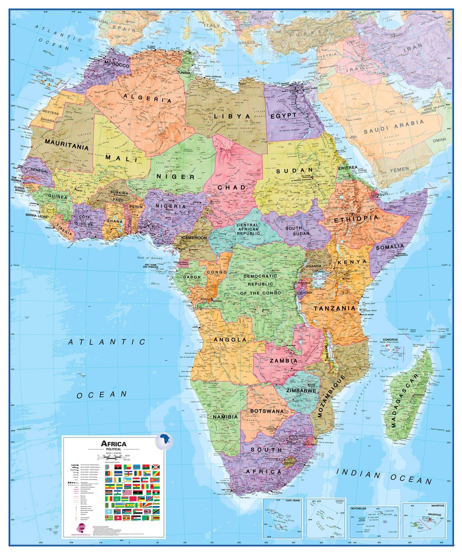
This Africa political wall map shows the whole African continent from Morocco in the North, to South Africa and Madagascar in the South. Map Details: This political wall map of Africa features countries marked in different colours, with international borders clearly shown. The map's key shows a panel of flags from each of the countries displayed in this African continent map. This political wall map of Africa also contains population detail, capital cities and all the major towns and cities in this continent. Africa map Uses: Ideal size for an office or classroom or for planning a trip around Africa. Dimensions: 117cm (w) x 140cm (h). Made from: This Africa Wall Map Political is printed onto 110 gsm paper and left unfinished.
Customer reviews
10 Trustpilot reviews total, with 2 shown at a time.
I wrote to Bigamart's customer support and they accompanied the process of reshipping the item until it finally arrived. I felt a genuine effort to solve the problem till it was finally solved.
The package was here in Australia from England in a few days — so quick! Something was missing and they refunded it straight away. Pretty happy with these guys.
You might also like