GR Gift Republic
✓Educational Charts & Posters
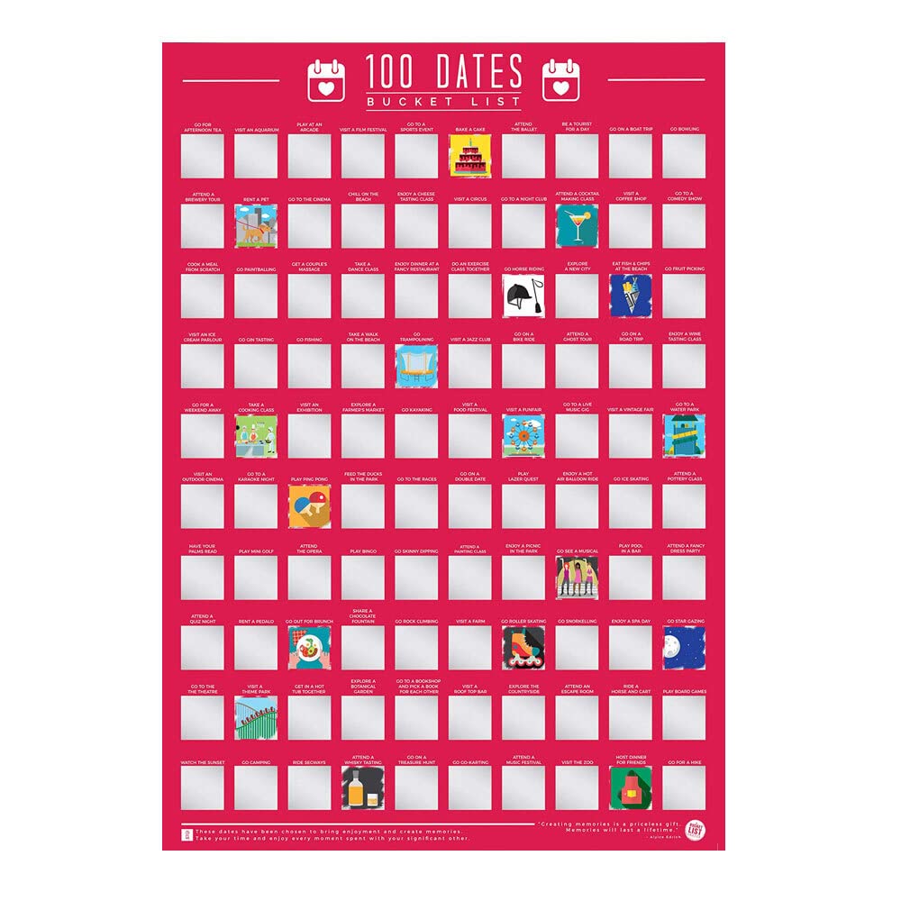
Gift Republic 100 Dates Bucket List Scratch Poster, Pink, A2
★★★★★4.4
$34.99
View
Austria, formally the Republic of Austria, is a landlocked country in the southern part of Central Europe, lying in the Eastern Alps. It is a federation of nine states, one of which is the capital, Vienna, the most populous city and state. Austria is bordered by Germany to the northwest, the Czech Republic to the north, Slovakia to the northeast, Hungary to the east, Slovenia and Italy to the south, and Switzerland and Liechtenstein to the west. The country occupies an area of 83,871 km2 (32,383 sq mi) and has a population of 9 million. Our Political Map of the Austria is vibrant and informative, with easy-to-read text and bright colours. Including capital cities, rivers, major roadways, towns and surrounding bodies of water. The political aspects such as state and national boundaries and capital and major cities are included and makes for an attractive map either for the home, office or school, for display on a wall or for desk work. Size A2 - 59.4 x 42 cm. Printed onto high quality poster paper and laminated for durability.
Customer reviews
10 Trustpilot reviews total, with 2 shown at a time.
I wrote to Bigamart's customer support and they accompanied the process of reshipping the item until it finally arrived. I felt a genuine effort to solve the problem till it was finally solved.
The package was here in Australia from England in a few days — so quick! Something was missing and they refunded it straight away. Pretty happy with these guys.
You might also like