Collins
⏳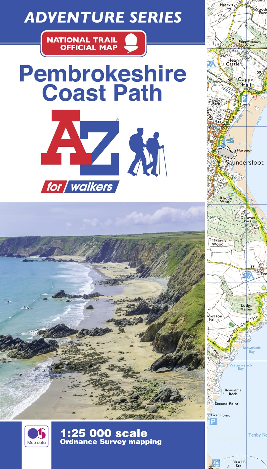
The A-Z Adventure series features the accuracy and quality of the 25k OS Explorer mapping in a convenient book, therefore eliminating the need to fold and re-fold a large sheet map to the desired area. OS Explorer is Ordnance Survey's most detailed mapping at a scale of 1:25 000, showing public rights of way, open access land, national parks, tourist information, car parks, public houses and camping and caravan sites. Unlike the OS sheets, this A-Z Adventure Atlas includes a comprehensive index to towns, villages, hamlets and locations, natural features, nature reserves, car parks and youth hostels. Each index entry has a page reference and a six figure National Grid Reference, making it quick and easy to use. This A-Z Adventure Atlas of the Pembrokeshire Coast Path features 74 pages of continuous Ordnance Survey mapping covering the 186 mile route of this stunning National Trail in Wales. Running mainly through the Pembrokeshire National Park, from Amroth in the south to St Dogmaels in the north, the trail reveals breathtaking coastal scenery and a richness of habitat supporting a diverse range of wildlife and wildflowers. A useful route planner guide includes a breakdown of distances along the way and an easy to use reference to amenities in nearby towns and villages. Also featured is advice about safety and security when walking or mountain biking and a selection of QR codes linked to useful websites. A book size of 240mm x 134mm matches the size of a standard OS Explorer map when closed. This A-Z Adventure Atlas has the accuracy and quality of OS Explorer mapping indexed within a book, making it the perfect companion for walkers, off-road cyclists, horse riders and anyone wishing to explore the great outdoors.
Customer reviews
10 Trustpilot reviews total, with 2 shown at a time.
I wrote to Bigamart's customer support and they accompanied the process of reshipping the item until it finally arrived. I felt a genuine effort to solve the problem till it was finally solved.
The package was here in Australia from England in a few days — so quick! Something was missing and they refunded it straight away. Pretty happy with these guys.
You might also like