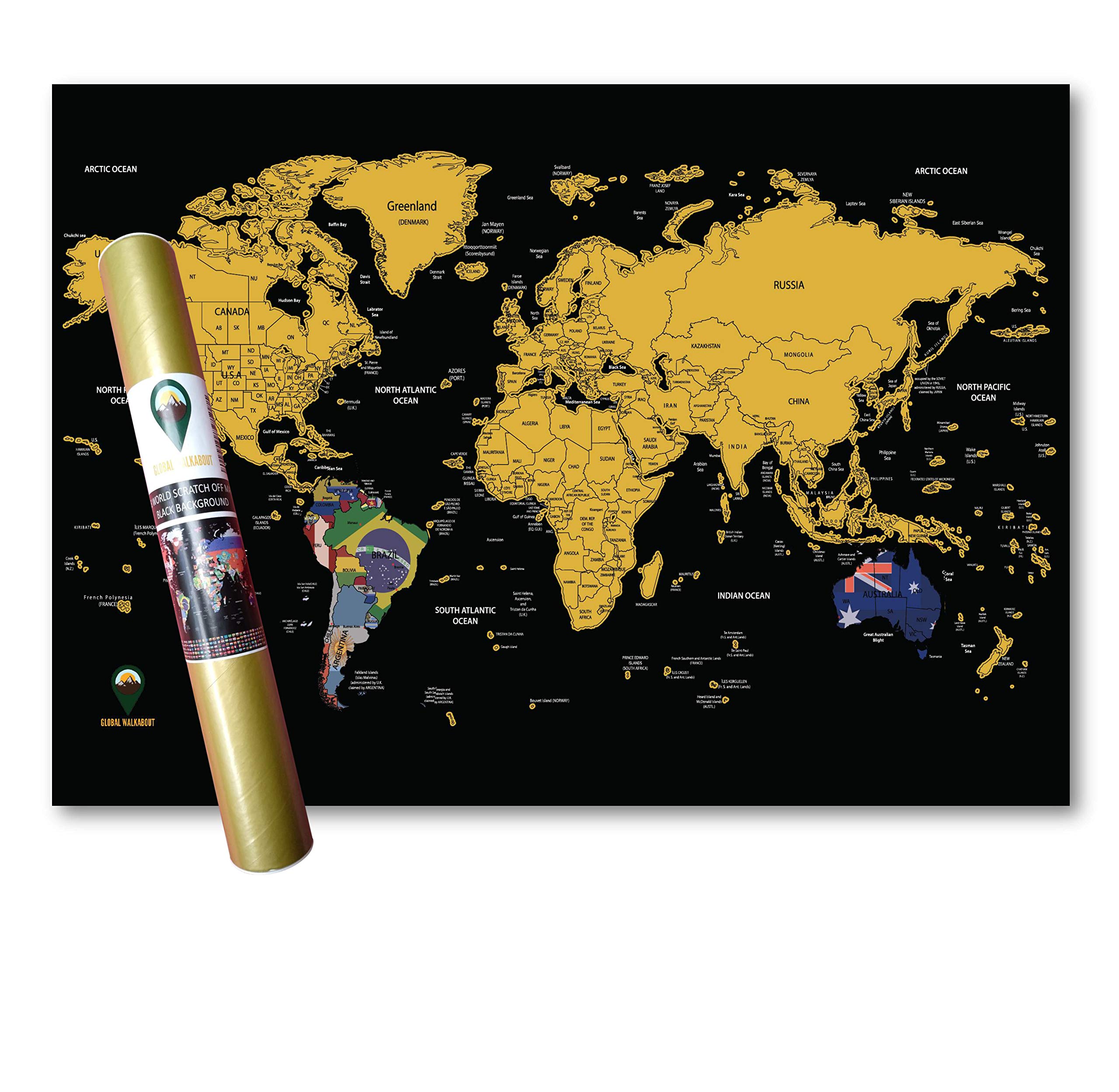
Global Walkabout
✓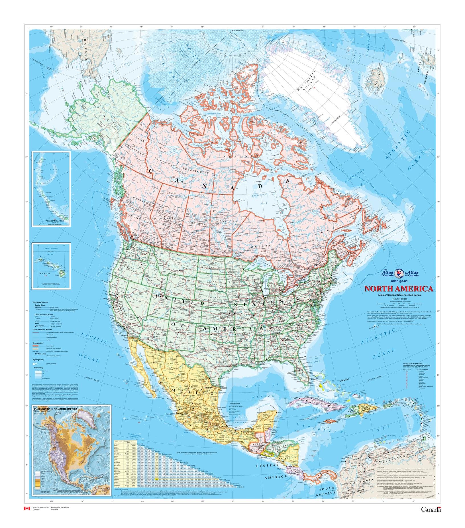
34 x 39 inches. Printed on paper. Flat map, tubed for shipping. This map shows North America at a scale of 1: 10 000 000. The map is a general reference map giving detailed coverage of populated places, transportation routes and the drainage network. Land areas are coloured to represent individual countries and dependencies. The map sheet has three inset maps showing the Aleutian Islands (Alaska), Hawaii and the North America relief with significant mountain elevations. There is also a table of road mileages between major cities. Scale 1:10,000,000
Customer reviews
10 Trustpilot reviews total, with 2 shown at a time.
I wrote to Bigamart's customer support and they accompanied the process of reshipping the item until it finally arrived. I felt a genuine effort to solve the problem till it was finally solved.
The package was here in Australia from England in a few days — so quick! Something was missing and they refunded it straight away. Pretty happy with these guys.
You might also like