GR Gift Republic
✓Educational Charts & Posters
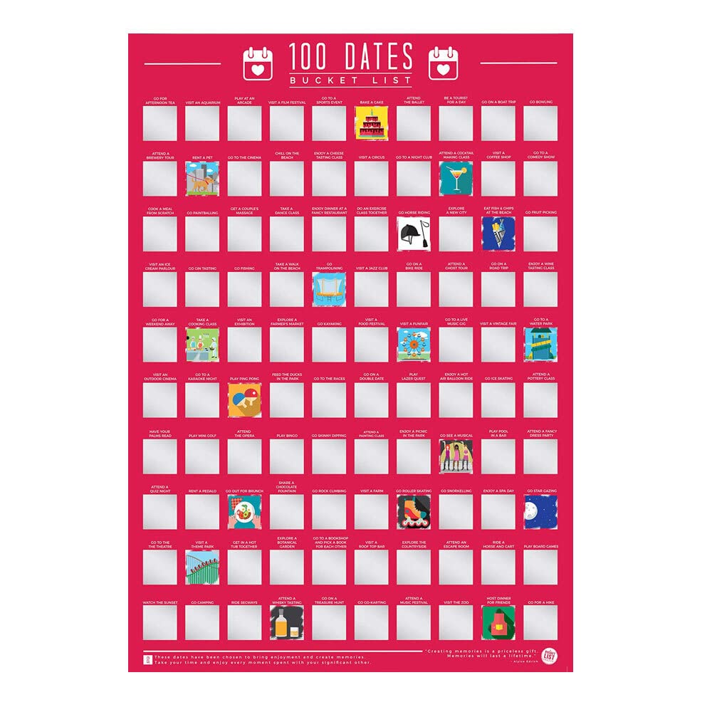
Gift Republic 100 Dates Bucket List Scratch Poster, Pink, A2
★★★★★4.4
$34.99
View
This wall map covers a broad geographic area ranging from northern Africa through the Middle East to the western edge of China and India. Includes complete coverage of Afghanistan, Pakistan, Tajikistan, Iran, Iraq, Kuwait, Syria, Israel, Jordan, Lebanon, Saudi Arabia, Qatar, Bahrain, United Arab Emirates, Yemen, Oman, Cyprus, and Eritrea. Also includes parts of India, China, Kyrgyzstan, Uzbekistan, Turkmenistan, Azerbaijan, Armenia, Turkey, Egypt, Sudan, Ethiopia, and Djibouti. Features thousands of place names, accurate political boundaries, archeological sites, and major infrastructure networks such as roads, canals, ferry routes, airports, and railroads. The region's diverse terrain is detailed through accurate shaded relief, coastal bathymetry, and symbolism for water features and other land forms. Elevations of major peaks and depth soundings are expressed in meters. Printed directly on canvas and rolled for shipping. There is approximately 5" of unprinted border to allow for stretching the canvas print onto a frame. Ideal for large and decorative maps. Your map is rolled and packaged in a sturdy tube to protect it during shipment.
Customer reviews
10 Trustpilot reviews total, with 2 shown at a time.
I wrote to Bigamart's customer support and they accompanied the process of reshipping the item until it finally arrived. I felt a genuine effort to solve the problem till it was finally solved.
The package was here in Australia from England in a few days — so quick! Something was missing and they refunded it straight away. Pretty happy with these guys.
You might also like