GR Gift Republic
✓Educational Charts & Posters
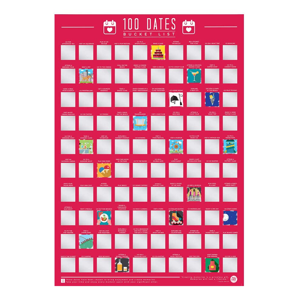
Gift Republic 100 Dates Bucket List Scratch Poster, Pink, A2
★★★★★4.4
$34.99
View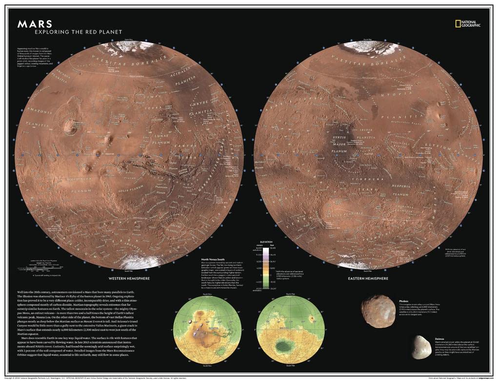
Well into the 20th century, astronomers envisioned a Mars that bore many parallels to Earth. The illusion was shattered by Mariner 4's flyby of the barren planet in 1965. Subsequent exploration has proved it to be a very different place: colder, incomparably drier, and with a thin atmosphere composed mostly of carbon dioxide. Martian topography reveals extremes that far outstrip similar features on Earth; the tallest mountain in the solar system - the mighty volcano Olympus Mons - is more than two and a half times the height of Earth's tallest volcanic peak, Mauna Loa. Explore Earth's most researched neighbor with this compelling and attractive map of Mars! This dual hemisphere map, though depicting a world alien to our own, elicits a sense of familiarity with the way it is presented. Drawn in Lambert Azimuthal Equal-Area projection, this map offers a uniquely detailed look into the planet's physical features. A drawn fresco of Mars' rugged, inhabitable landscape provides context, as does a separate elevation map. This map is an attractive product for the budding astronomer. It makes an essential companion to Milky Way: Earth's Galactic Home, and its size makes it perfect for a gallery wall. This map is found in National Geographic's 11th Edition World Atlas and is now available as a stand alone product. Printed on polypropylene. The material is stronger than most papers and unlikely to crease or rip. The matte finish eliminates glare, and adds texture to the map. Ideal for display. Please note this map is NOT laminated - the page is not appropriate for dry-erase markers. Your map is rolled and packaged in a sturdy tube to protect it during shipment.
Customer reviews
10 Trustpilot reviews total, with 2 shown at a time.
I wrote to Bigamart's customer support and they accompanied the process of reshipping the item until it finally arrived. I felt a genuine effort to solve the problem till it was finally solved.
The package was here in Australia from England in a few days — so quick! Something was missing and they refunded it straight away. Pretty happy with these guys.
You might also like