Little Wigwam
✓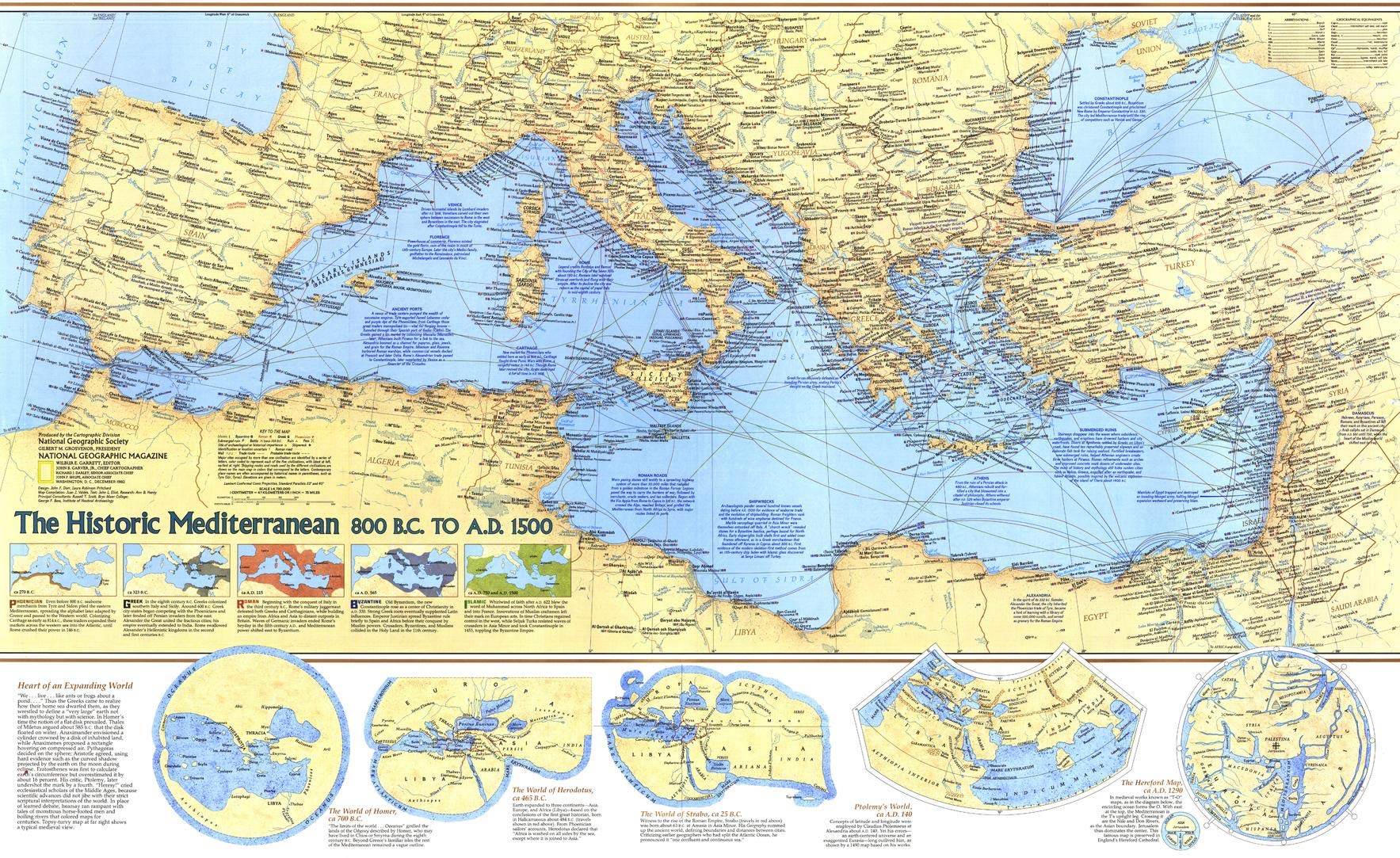
A land of myth, legend, history and the origins of western civilization, the Mediterraean region has captivated minds and hearts for millennia. Published in December 1982 as a companion to the unique Mediterranean Seafloor, this map accompanied three articles on the Mediterranean Sea throughout the ages. The Mediterranean was home to many of the greatest civilizations in human history, including the ancient Greeks and Romans. This colorful map contains a wealth of information about the history of these civilizations who inhabited the region from 800 BC to AD 1500, and the archaeological sites they left behind. Track the expanded Mediterranean worldview through the ages with a unique series of maps. Explore the rise and fall of the Phonecian, Greek, Roman, Byzantine, and Islamic empires. Travel the deep blue waters on trade and exploration routes that snake through the sea travelling everywhere from everywhere. This map is drawn in Lambert Conformal Conic projection, which seats a cone over the sphere of the Earth and projects the surface conformally onto the cone. This map is truly a unique conversation piece. The beautifully contrasted land and waters makes it a perfect complement to any decor. A must-have for historians. Printed on high quality canvas, that brings out the artistic quality of this map. 5 inches of additional material is included on each side so that you have enough material to have the map stretched on a frame while preserving the integrity of the product Your map is rolled and packaged in a sturdy tube to protect it during shipment.
Customer reviews
10 Trustpilot reviews total, with 2 shown at a time.
I wrote to Bigamart's customer support and they accompanied the process of reshipping the item until it finally arrived. I felt a genuine effort to solve the problem till it was finally solved.
The package was here in Australia from England in a few days — so quick! Something was missing and they refunded it straight away. Pretty happy with these guys.
You might also like