Little Wigwam
✓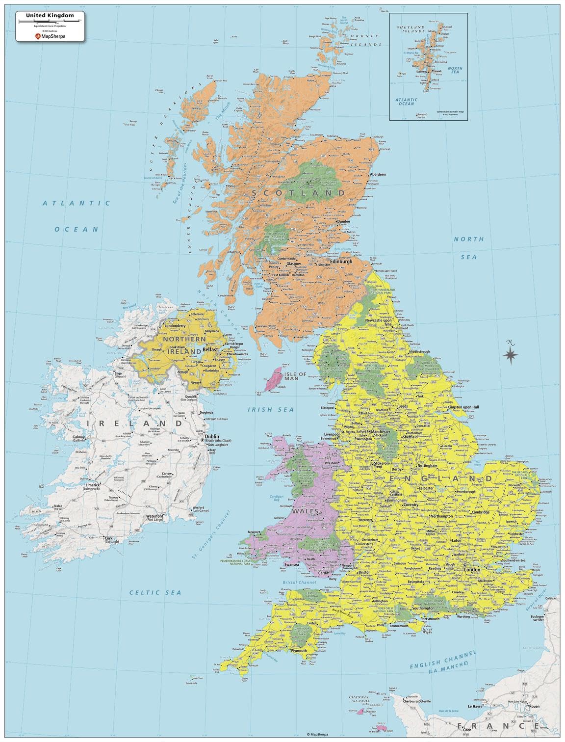
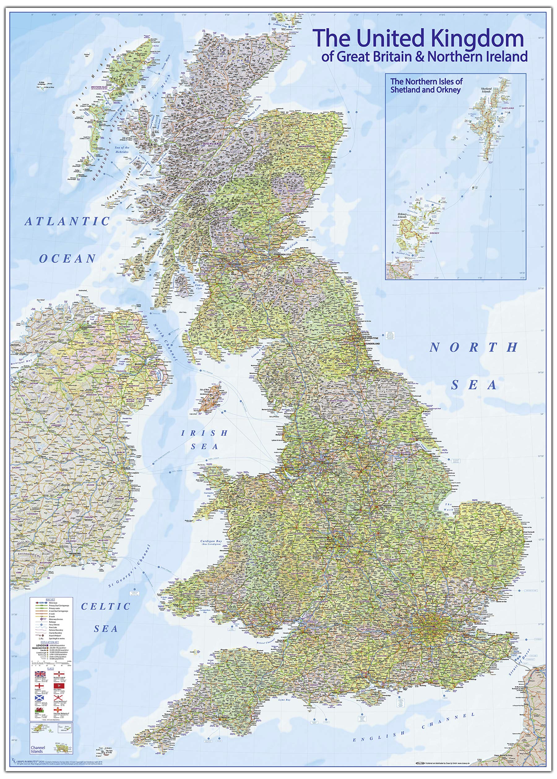
This United Kingdom Political Map shows all the countries and island that make up the UK. The map shows the Shetland Islands in the extreme north, all the way to the Channel Islands in the south. All major cities are noted, as well as National Parks and primary physical features such as mountain ranges, rivers, and lakes. Note, the Republic of Ireland, is not part of the UK, but is fully featured on this map. Printed on thick paper suitable for display on your home, school or office wall. Your map is rolled and packaged in a sturdy tube to protect it during shipment.
Customer reviews
10 Trustpilot reviews total, with 2 shown at a time.
I wrote to Bigamart's customer support and they accompanied the process of reshipping the item until it finally arrived. I felt a genuine effort to solve the problem till it was finally solved.
The package was here in Australia from England in a few days — so quick! Something was missing and they refunded it straight away. Pretty happy with these guys.
You might also like