GR Gift Republic
✓Educational Charts & Posters
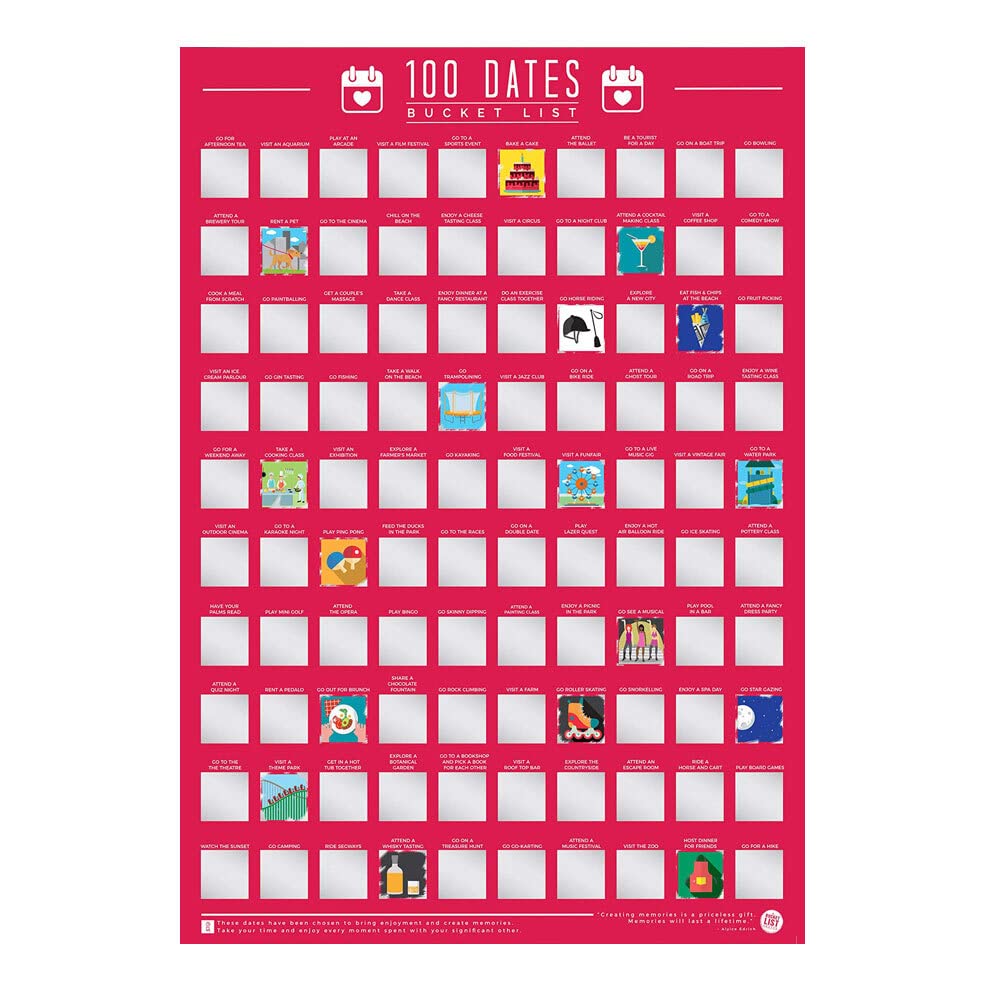
Gift Republic 100 Dates Bucket List Scratch Poster, Pink, A2
★★★★★4.4
$34.99
View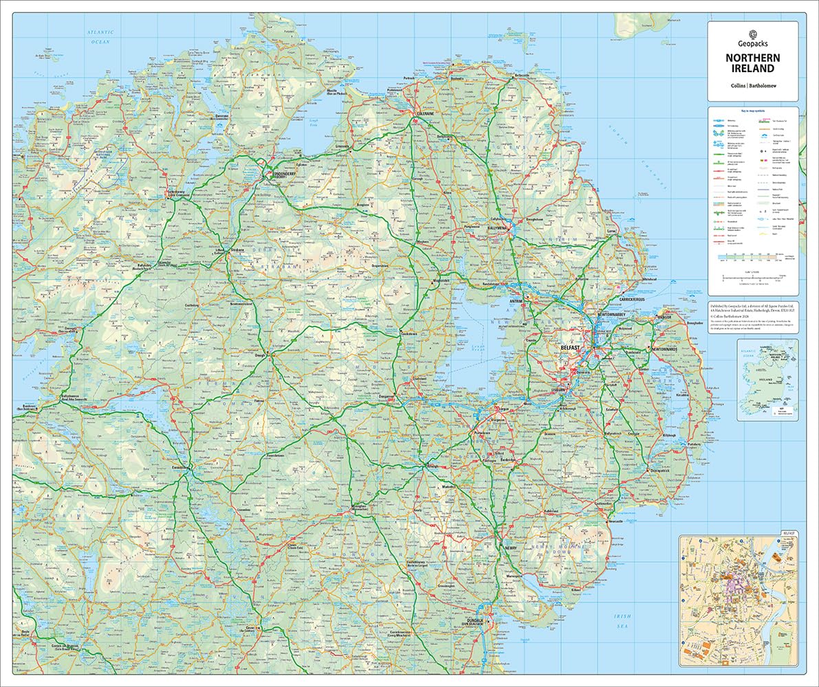
A large laminated wall map of Northern Ireland that can be laminated or framed. This Northern Ireland road map is ideal for planning travel either for business or pleasure. Motorways, primary routes, “A” roads and many “B” roads are clearly displayed to help you identify routes. Ferry routes and railway lines can also be found within the map and can be identified using the legend placed to the right hand side of the map. The border line is also clearly displayed. Size: 75 x 133cm (Landscape) Scale: Scale 1:210,000: 3.3 miles to 1 inch / 2.1 km to 1cm This map is permanently bonded between two sheets of tough, flexible, crystal-clear plastic. This finish allows you to “write on, wipe off” with dry or wet wipe pens.
Customer reviews
10 Trustpilot reviews total, with 2 shown at a time.
I wrote to Bigamart's customer support and they accompanied the process of reshipping the item until it finally arrived. I felt a genuine effort to solve the problem till it was finally solved.
The package was here in Australia from England in a few days — so quick! Something was missing and they refunded it straight away. Pretty happy with these guys.
You might also like