Gift Republic
✓Educational Charts & Posters
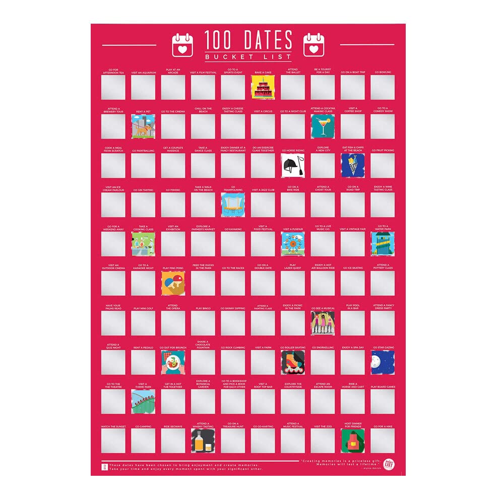
Gift Republic 100 Dates Bucket List Scratch Poster, Pink, A2
★★★★★4.4
$34.99
View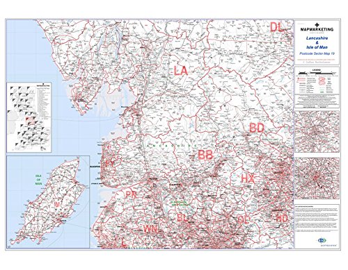
This is one of 37 pre-defined map sheets that covers the UK at Sector level displaying all of the first part of the postcode and the first number of the second part, or Inward Code, at a scale of an inch to 2.4 miles. This Sector map includes all of the postcode changes in the most recent Royal Mail Postcode Update. Area, District and Sector boundaries and numbers/letters are shown in red with County and Unitary Authority boundaries presented in green. The map base shows motorways, primary, ‘A’ and down to unclassified roads with conurbation shapes and city plan insets showing street level detail for major cities.
Customer reviews
10 Trustpilot reviews total, with 2 shown at a time.
I wrote to Bigamart's customer support and they accompanied the process of reshipping the item until it finally arrived. I felt a genuine effort to solve the problem till it was finally solved.
The package was here in Australia from England in a few days — so quick! Something was missing and they refunded it straight away. Pretty happy with these guys.
You might also like