Daydream Education
✓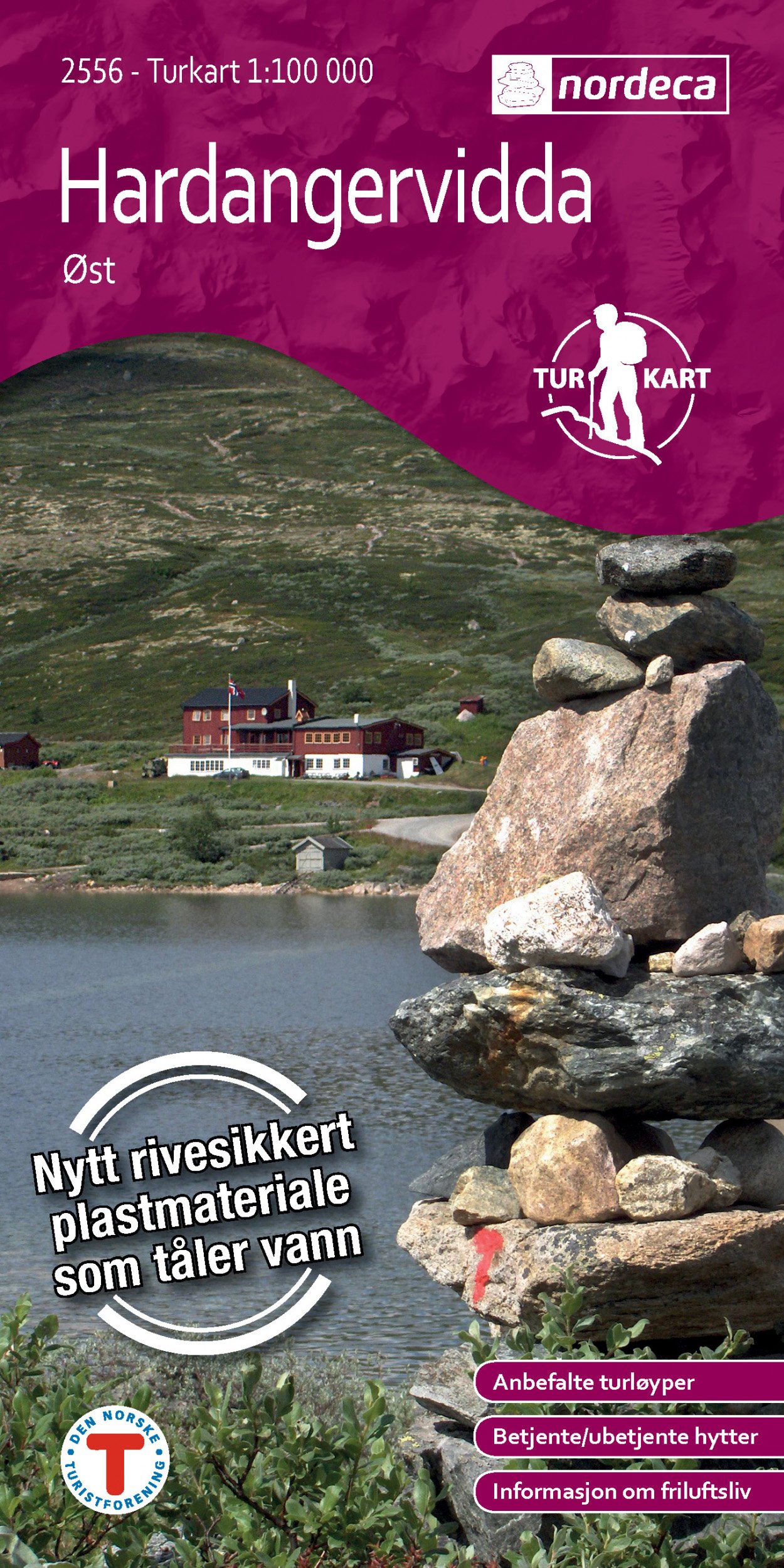
Hiking map that covers: Austbygdi, Bjornesfjorden, Borgsjåbrotet, Dagali, Fliseggi, Gaustatoppen, Geilo, Hallingdal, Hallingskarvet, Halnefjorden, Hardangervidda, Kalhovdfjorden, Kvennedalen, Langesjøen, Miland, Måna, Mår, Møsvatn, Numedalslågen, Rjukan, Rødungen, Tessungdalen, Tunhovdfjorden, Ustevatnet, Uvdal Maps information Scale 1:100 000 Plastic material. (Tear and waterproof) Accommodation information (Cabins) Hiking trais Usefull hiking information for the area from the Norwegan trekking assosiation The National TurkartSeries (Walking maps) This collection of national walking maps consists of over 200 maps and covers the most popular walking and hiking areas of Norway. The maps are adapted for each specific area, and contain hiking trails, cabins and local touring information. The maps are available in the following scales 1:25 000, 1:50 000, 1:100 000.
Customer reviews
10 Trustpilot reviews total, with 2 shown at a time.
I wrote to Bigamart's customer support and they accompanied the process of reshipping the item until it finally arrived. I felt a genuine effort to solve the problem till it was finally solved.
The package was here in Australia from England in a few days — so quick! Something was missing and they refunded it straight away. Pretty happy with these guys.
You might also like