Gift Republic
✓Educational Charts & Posters
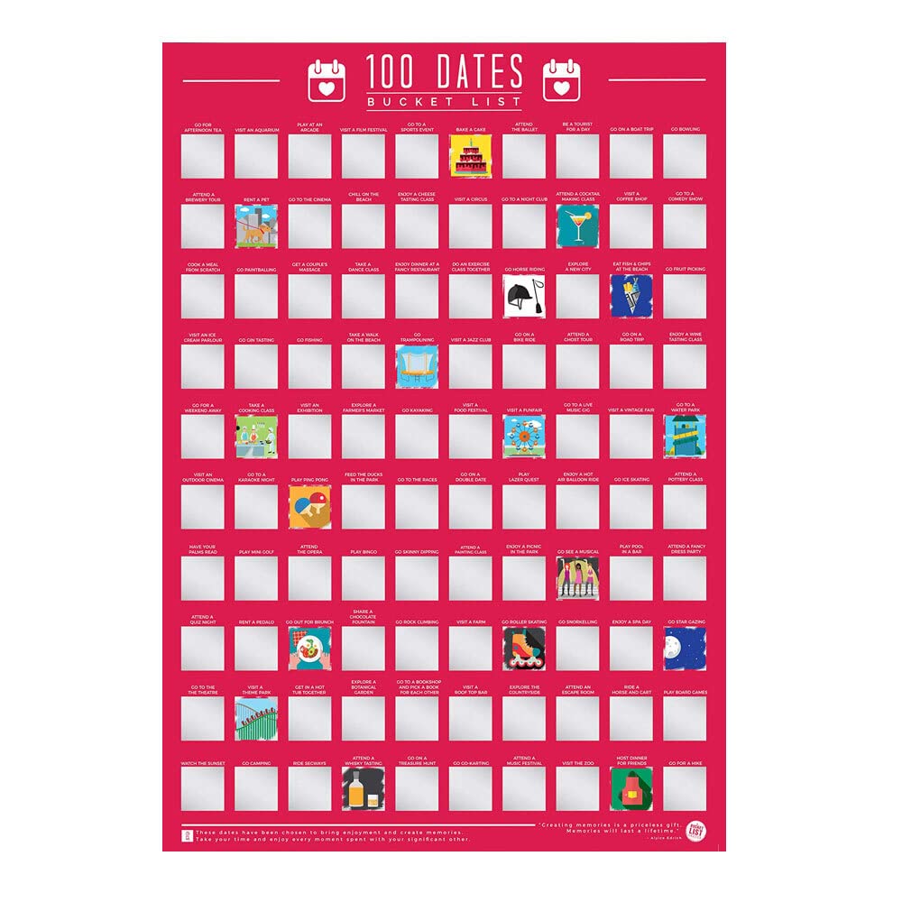
Gift Republic 100 Dates Bucket List Scratch Poster, Pink, A2
★★★★★4.4
$56.99
View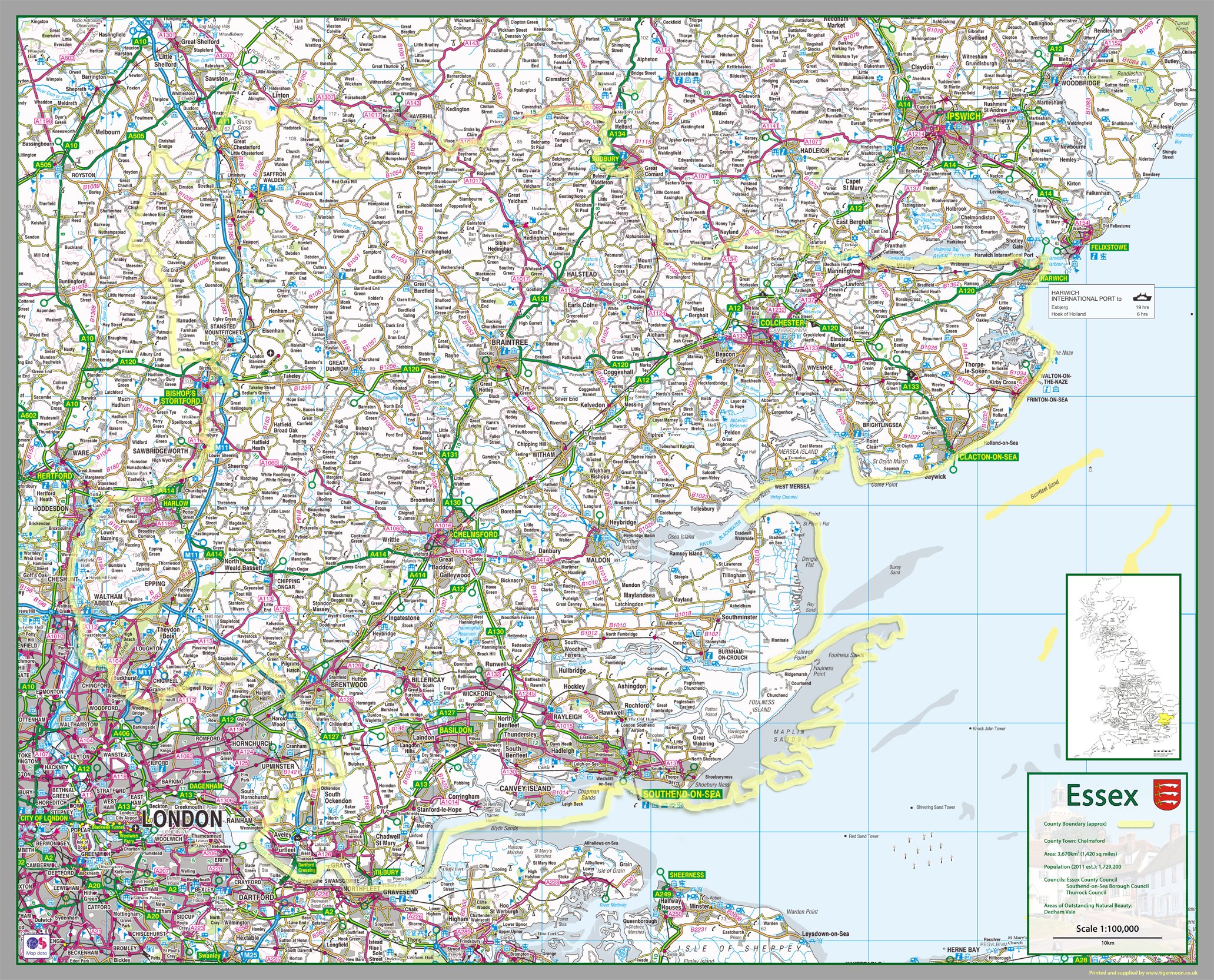
This 1:100,000 detailed map of Essex shows the county boundary, town names, roads, railways, land features, water features and tourist information. Along with this map is a A4 legend showing and explaining all the different icons, roads, railways and more. This is 90 x 111 cm (APPROX) and printed onto paper which is then finished with a durable gloss laminate.
Customer reviews
10 Trustpilot reviews total, with 2 shown at a time.
I wrote to Bigamart's customer support and they accompanied the process of reshipping the item until it finally arrived. I felt a genuine effort to solve the problem till it was finally solved.
The package was here in Australia from England in a few days — so quick! Something was missing and they refunded it straight away. Pretty happy with these guys.
You might also like