Little Wigwam
✓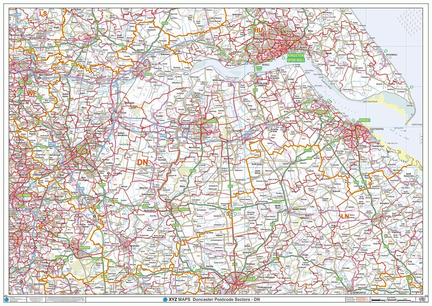
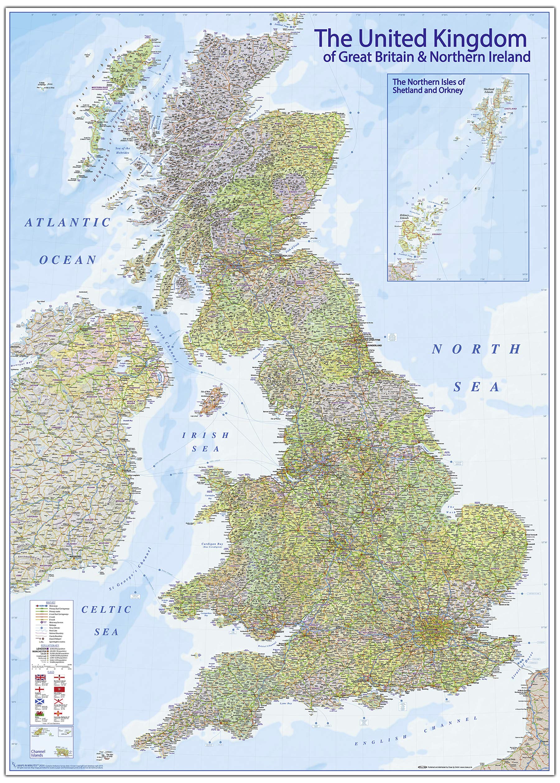
The Doncaster Postcode Sector Wall Map Shows Detailed Postcode Sector Boundaries with its Associated Postcode Sector Label (DN8 2, DN8 3) on a Comprehensive Background and is Perfect for Determining Postcode Boundaries for Sales, Logistics, Planning Mailshots or as a Regional Reference Guide. This Wall Map Covers the Whole of the DN Postcode Area. Map Details: Title: Doncaster - DN - Postcode Wall Map Scale: 1:90,000 Sizes: A0 (119cm x 84cm) or For Extra Clarity, Double Size, 2A (119cm x 168cm). Edition: First Edition SKU: G13 Map Features: Postcode Sector Boundaries in Red with Associated Postcode Sector Labels (DN8 2) Ordnance Survey 1:50 000 LandRanger Map Background in Colour including Motorways, Primary Roads, Major Towns, Cities and Villages. Map Benefits: Xtreme Accuracy Postcode Boundaries with Clear Regional Mapping for you to Plan Sales and Marketing Campaigns, Leaflet Drops, Postal Mailings, etc. Use to Allocate Postcode Districts and Sectors to Sales Territories. Use Marker Pens on the Plastic Coated version and then Wipe Off. Use Marker Pins, for Client Locations.
Customer reviews
10 Trustpilot reviews total, with 2 shown at a time.
I wrote to Bigamart's customer support and they accompanied the process of reshipping the item until it finally arrived. I felt a genuine effort to solve the problem till it was finally solved.
The package was here in Australia from England in a few days — so quick! Something was missing and they refunded it straight away. Pretty happy with these guys.
You might also like