Maps International
✓Curriculum Resources
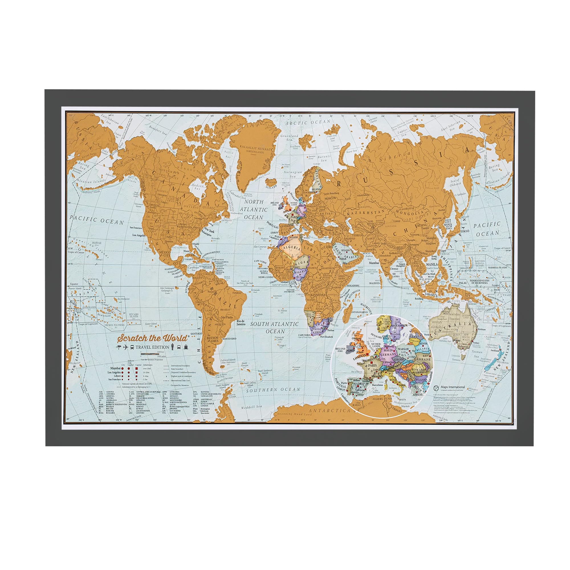
Framed Scratch The World® Travel Map - 42 x 29.7 cm - Black Wood Frame
$74.99
View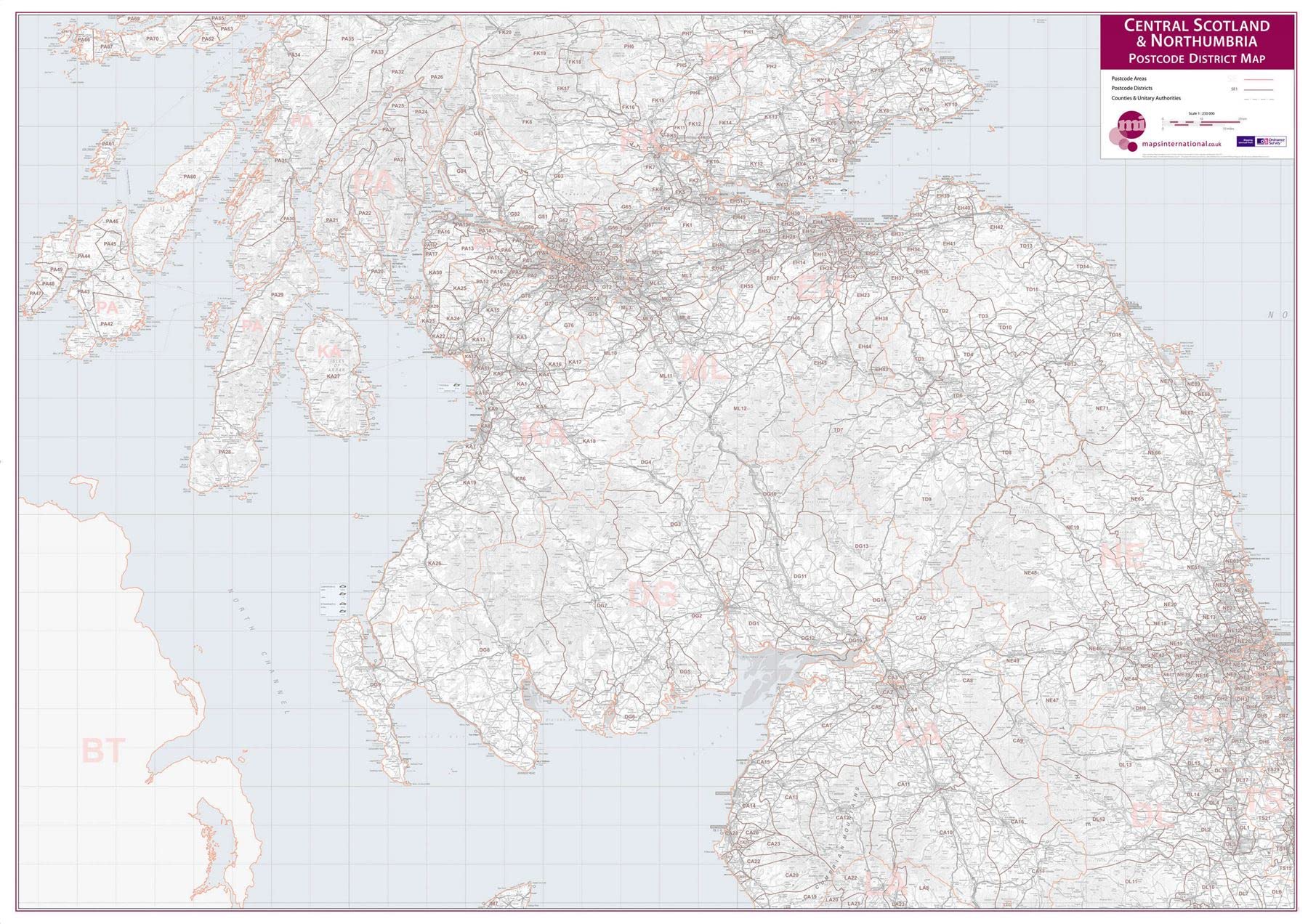
This postcode district wall map covers Central Scotland and Northumbria with postcode districts overlaid clearly (i.e. CA1). The base mapping is derived from Ordnance Survey with roads and towns shown on this map but faded back to ensure clear view of the postcodes districts. This postcode district map is perfect for territory mapping, regional operations or marketing planning. This Central Scotland and Northumbria Postcode District Map (Laminated) with encapsulation gives the map a write on / wipe off finish. Using a dry wipe marker, any writing on the map can be wiped off with a proprietary cleaner. Dimensions: 134.5cm (w) x 95.1cm (h). Made from: This Central Scotland and Northumbria Postcode District Map (Laminated) will be finished with an encapsulation process. Encapsulation means that the print is heat sealed between two sheets of industrial quality film. Please note that the edges of this print are not sealed.
Customer reviews
10 Trustpilot reviews total, with 2 shown at a time.
I wrote to Bigamart's customer support and they accompanied the process of reshipping the item until it finally arrived. I felt a genuine effort to solve the problem till it was finally solved.
The package was here in Australia from England in a few days — so quick! Something was missing and they refunded it straight away. Pretty happy with these guys.
You might also like

![Star Wars: Episode IX - The Rise of Skywalker [2Blu-Ray] [Region Free] (English audio. English subtitles)](https://m.media-amazon.com/images/I/71BwRnAAoAL.jpg)