Little Wigwam
✓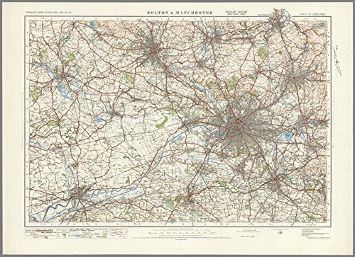
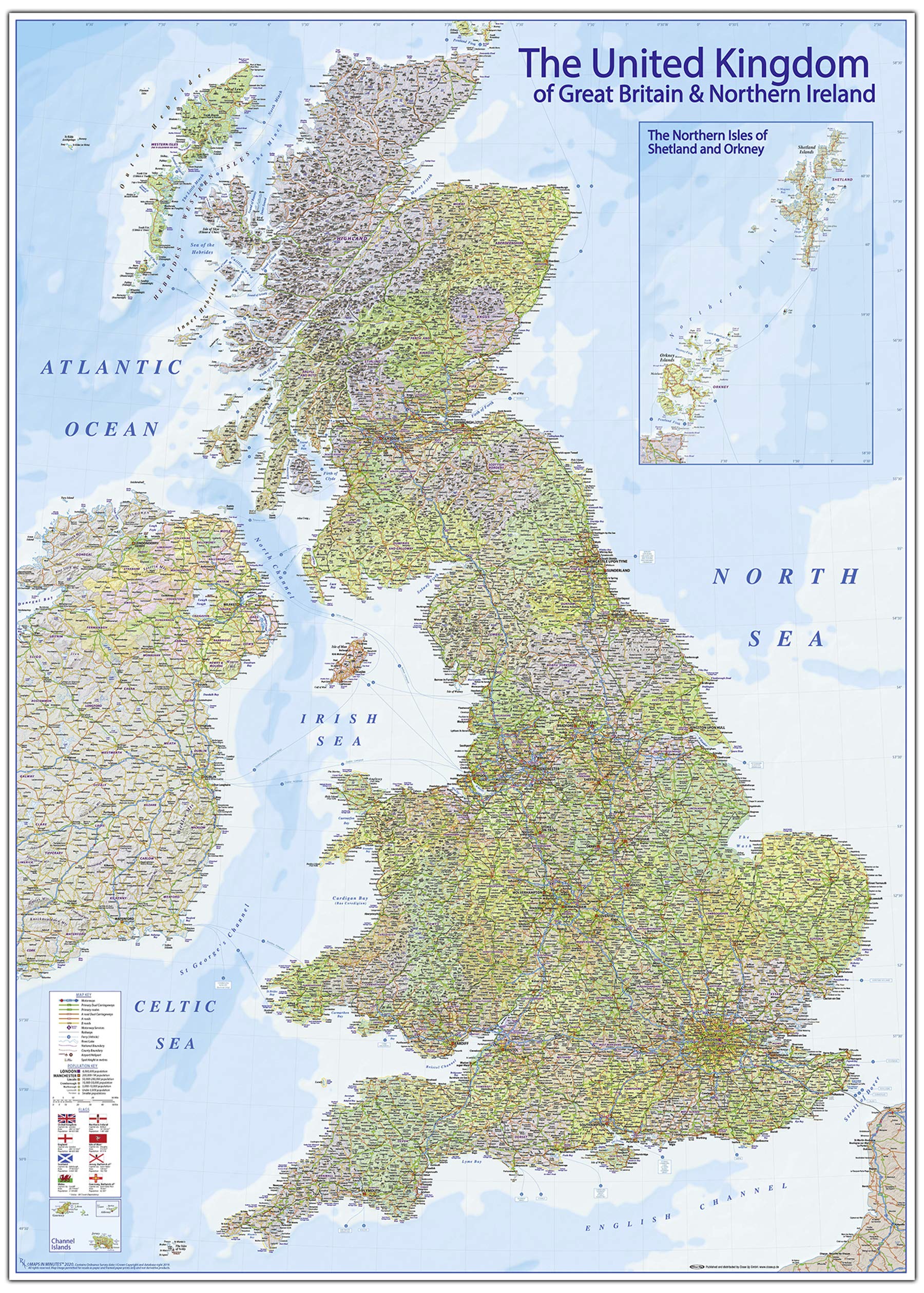
This highly detailed map of Bolton and Manchester is a fine example of old cartography. It would have been hand drawn using specialist techniques of the period. The map includes a key showing a description of all symbols and roads. The map features place names, physical data, buildings, roads and more. Size - 73 x 100 cm. Printed onto high quality poster paper which is durable and is non- tearable.
Customer reviews
10 Trustpilot reviews total, with 2 shown at a time.
I wrote to Bigamart's customer support and they accompanied the process of reshipping the item until it finally arrived. I felt a genuine effort to solve the problem till it was finally solved.
The package was here in Australia from England in a few days — so quick! Something was missing and they refunded it straight away. Pretty happy with these guys.
You might also like