Little Wigwam
✓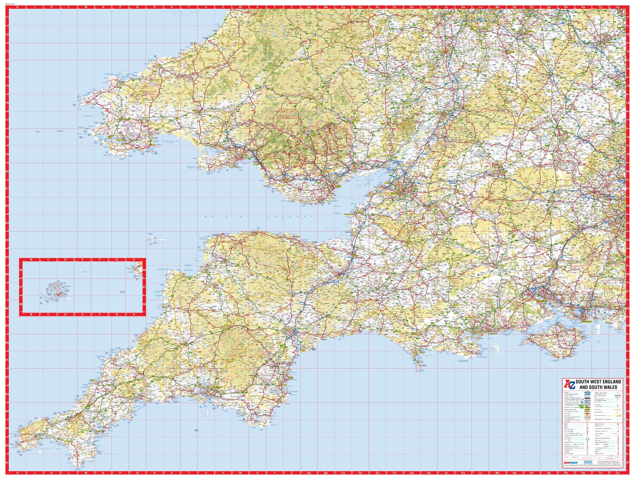
Printed area: 45.75 x 34.5 inches. Printed directly on canvas and rolled for shipping. There is approximately 5" of unprinted border to allow for stretching the canvas print onto a frame. Ideal for large and decorative maps. This A-Z sheet map of South West England and South Wales is a road map extending from Land's End and St. David's Head in the west to Aberystwyth in the north and Chichester in the south east. Maps created by A-Z Maps, the publisher of the United Kingdom's iconic street maps Scale 1:316,800
Customer reviews
10 Trustpilot reviews total, with 2 shown at a time.
I wrote to Bigamart's customer support and they accompanied the process of reshipping the item until it finally arrived. I felt a genuine effort to solve the problem till it was finally solved.
The package was here in Australia from England in a few days — so quick! Something was missing and they refunded it straight away. Pretty happy with these guys.
You might also like