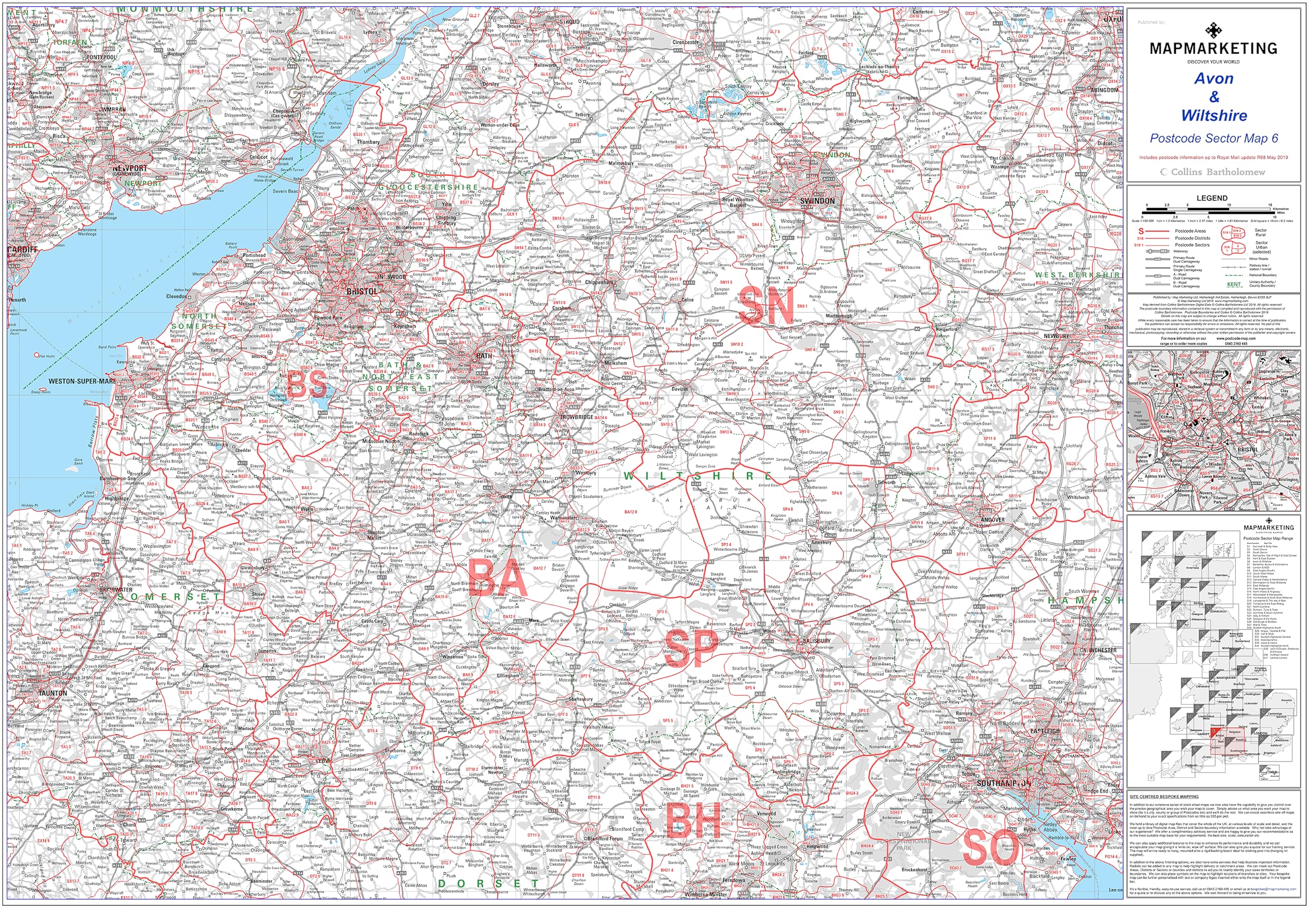
Map Marketing⏳MapsAvon And Wiltshire Postcode Sector Wall Map- Postcode Sector Map 6 - Laminated Wall Map With Motorway, A' Roads, B' Roads, City Plans, Area, District, Sectors$117.99View
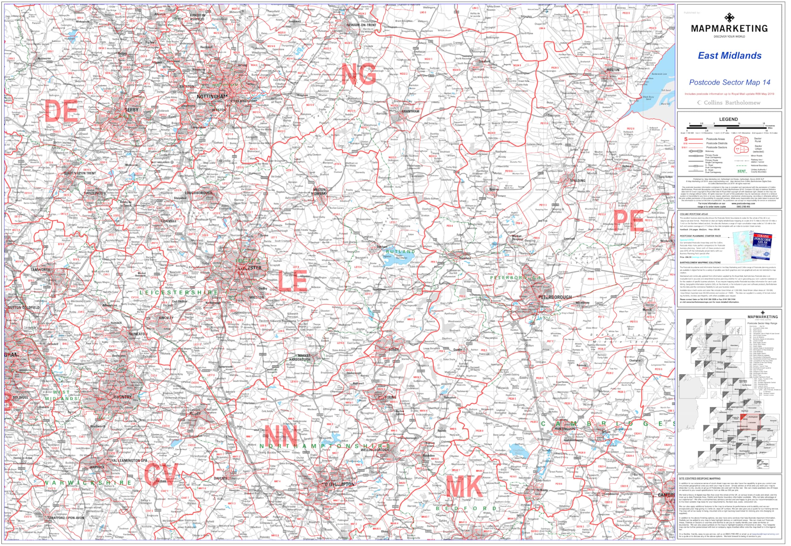
Map Marketing⏳MapsEast Midlands - Postcode Sector Map 14 - Wall Map With Motorway, A' Roads, B' Roads, City Plans, Area, Size: 73 x 107 cm (29 x 42 inches) Scale: 1:150 000 (2.4 miles to 1 inch) Laminated$60.99View
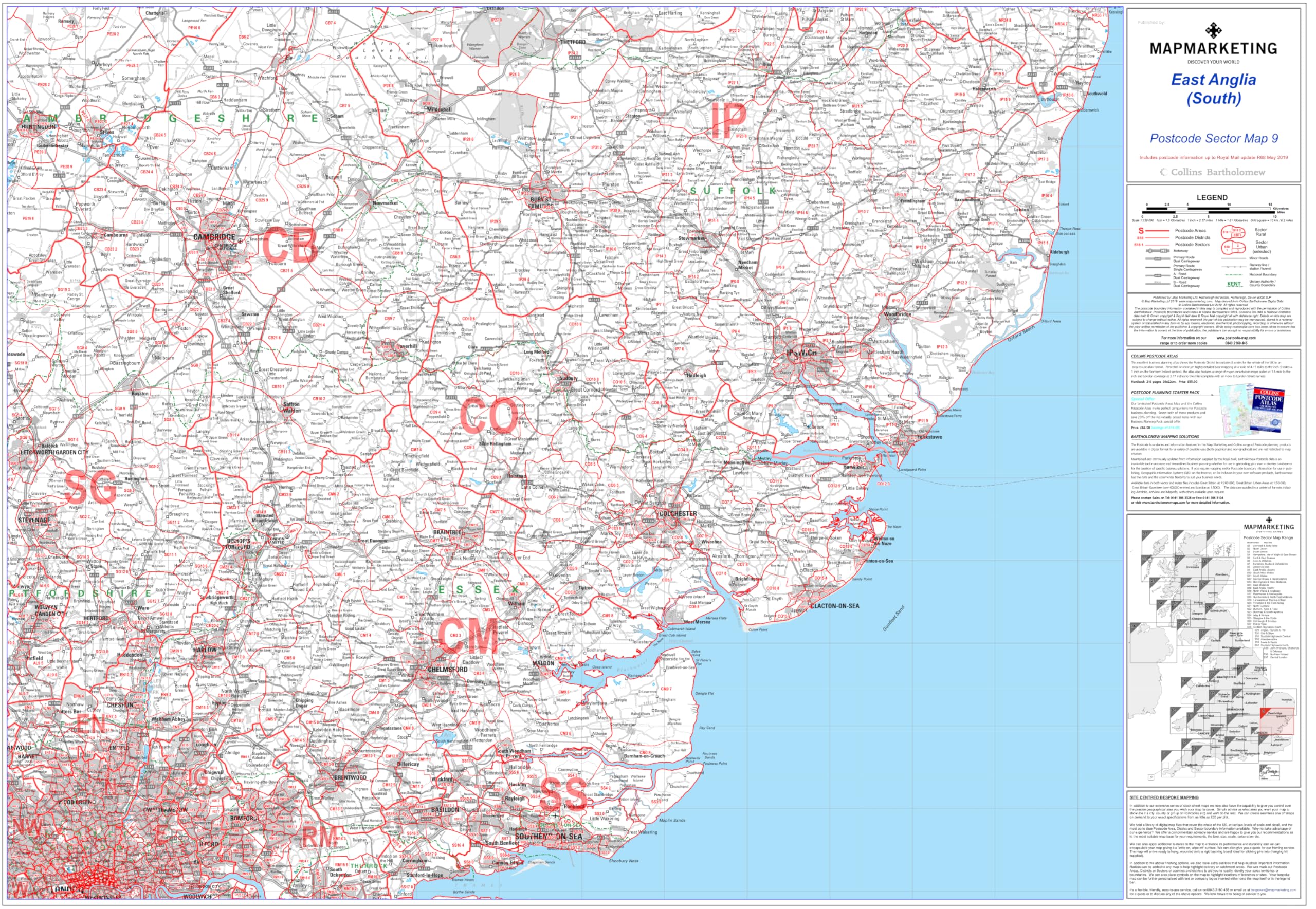
Map Marketing⏳MapsEast Anglia Postcode Sector Wall Map- Postcode Sector Map 9 - Laminated Wall Map With Motorway, A' Roads, B' Roads, City Plans, Area, District, Sectors$91.99View
Franken⏳MapsFranken UMZS92099 Presentation Cards Self-Adhesive Pack of 300 Various Colours$148.99View
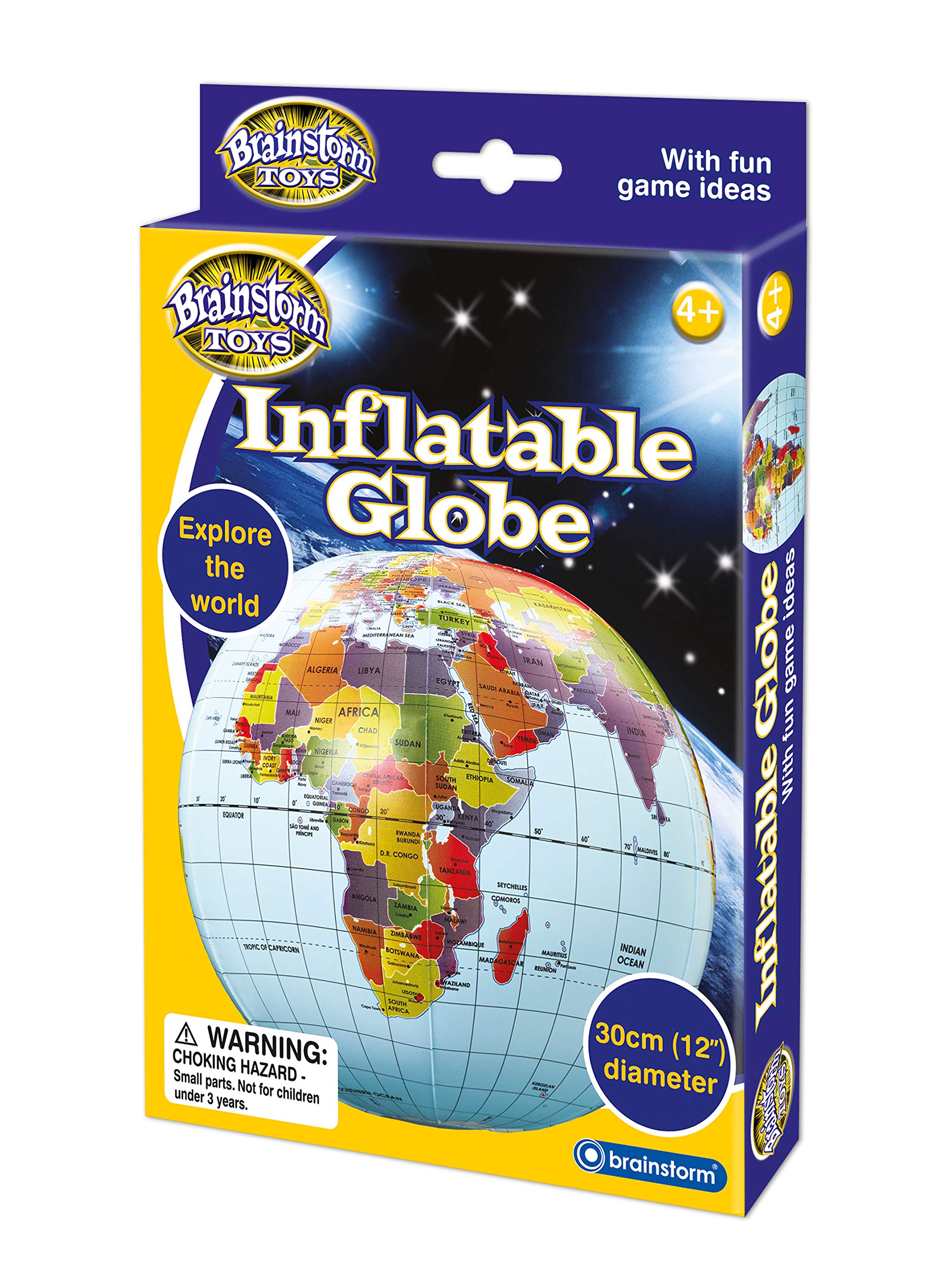
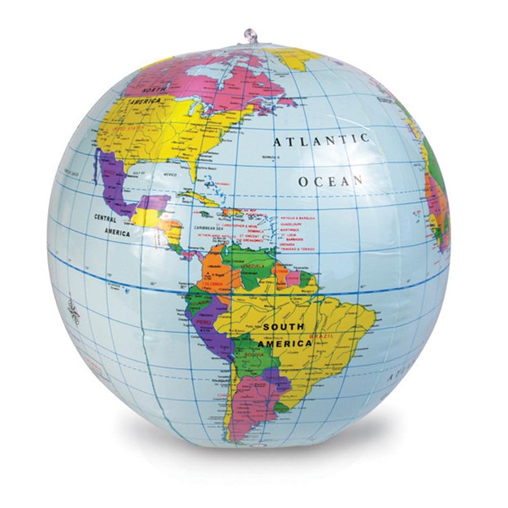
Brainstorm TOYS⏳GlobesBrainstorm Toys 30cm Inflatable Globe – World Map with Longitude & Latitude Lines, Fun Educational Geography Toy with Interactive Game Ideas for Kids$45.99View
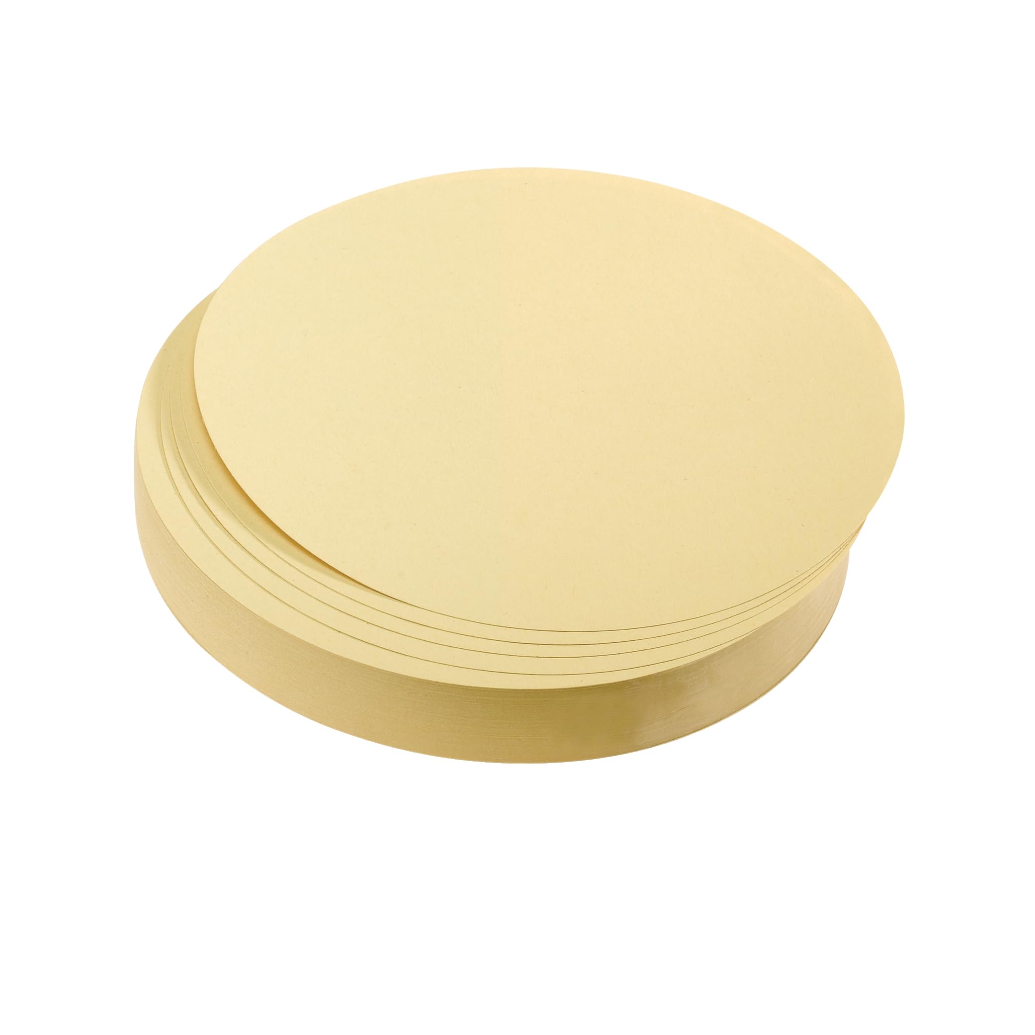
Franken⏳MapsFranken UMZ 20 04 Presentation Cards Circular 195 mm Big Bowl, Pack of 500 Yellow 500 Stück Yellow$105.99View
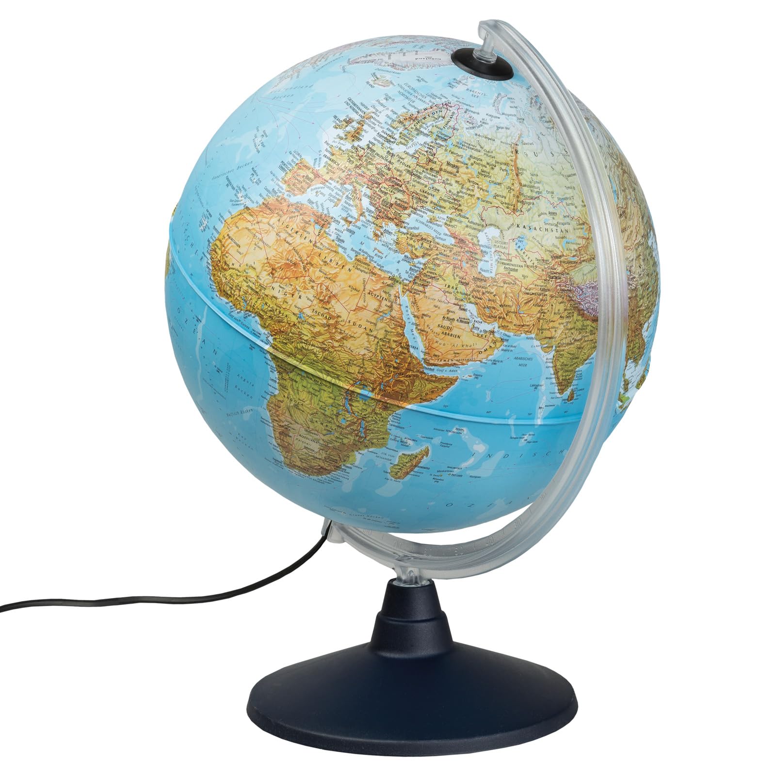
Magellan Expedition⏳GlobesMagellan Vasa Globe with Political Map Image or Hand-Laminated, Freestanding without Meridian, Diameter 32 cm, Globe with Red-Brown Wooden Base, Scale 1:40,000,000 Political Map Antique 32 cm$301.99View
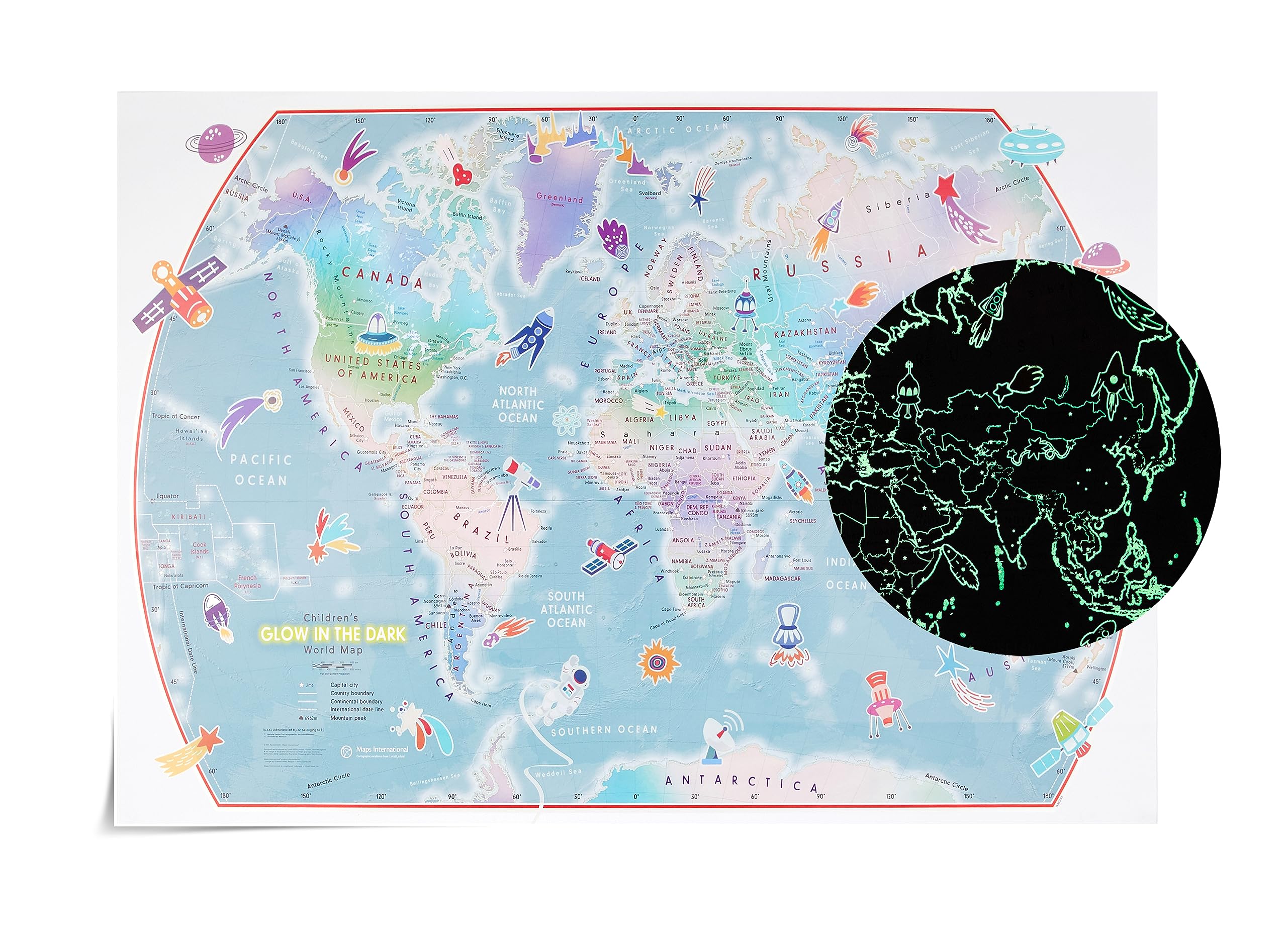
Maps International⏳MapsOUTER SPACE POSTER - Glow in The Dark - Children's World Wall Map Poster - 33.11 (w) x 23.39 (h) inches$67.99View
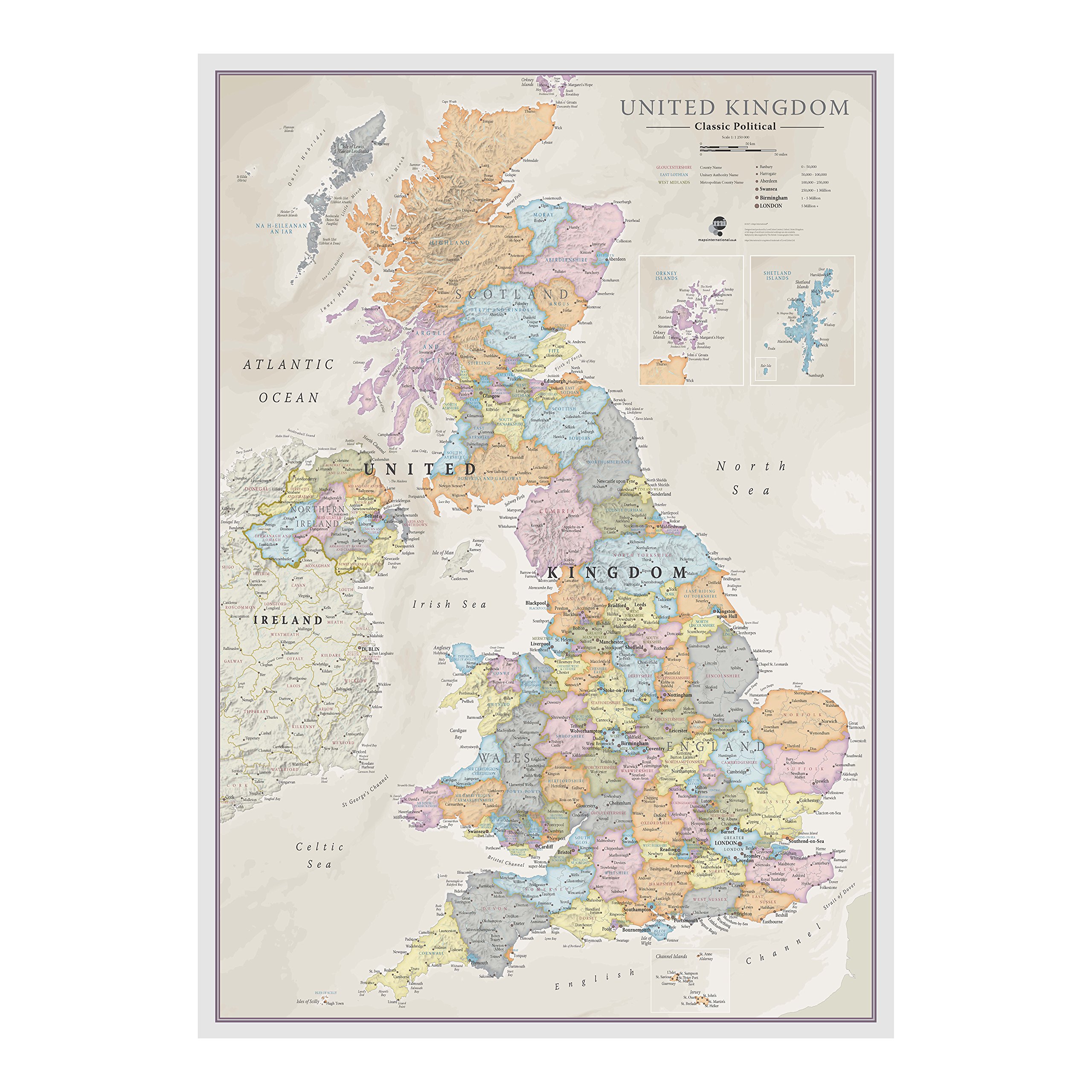
Maps International✓MapsUK Map - Classic Wall Map Of The United Kingdom Poster - Front Lamination – A1, 84 x 59cm★★★★★4.6$60.99View
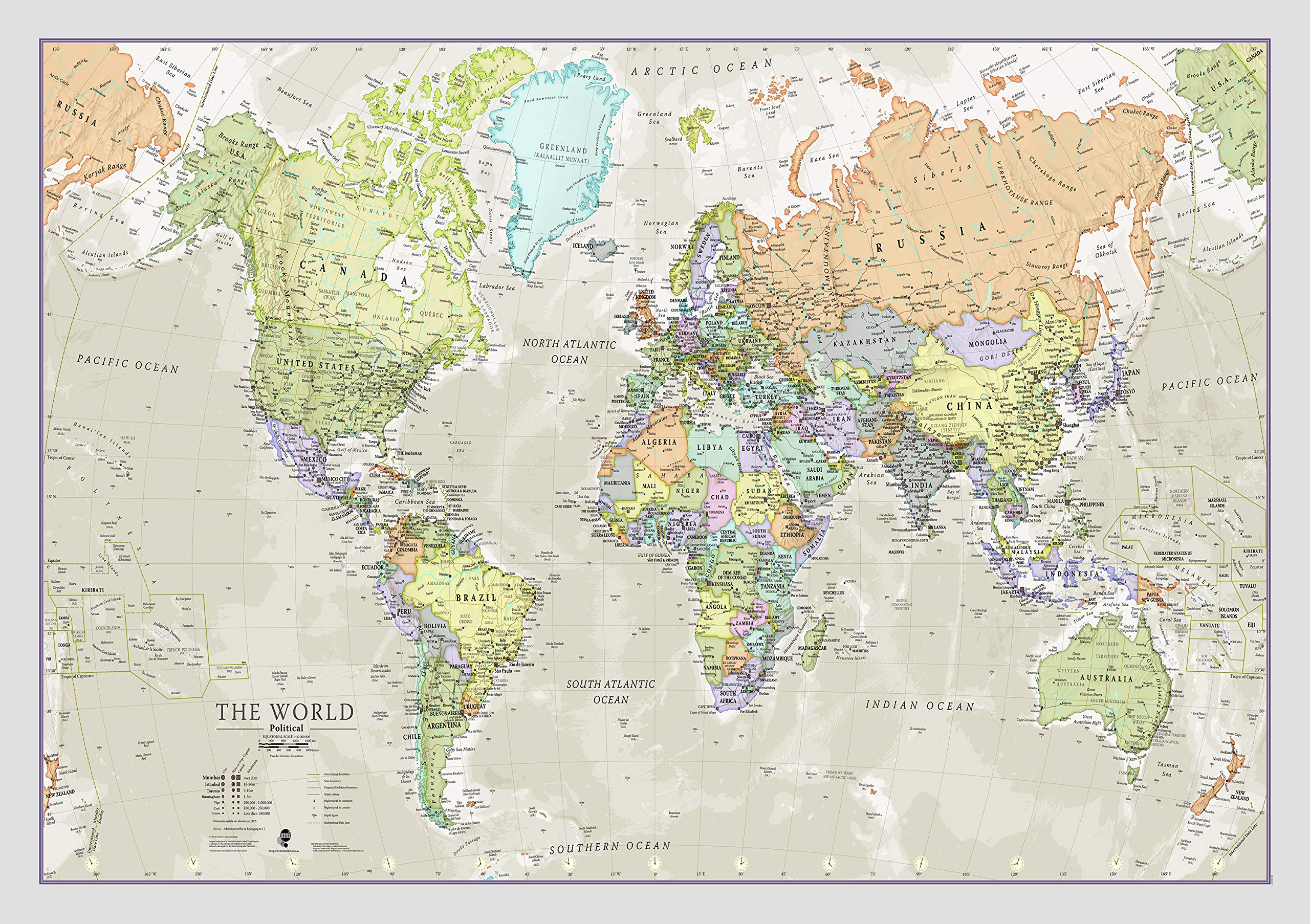
Maps International⏳MapsClassic World Map - Maps International - Front Lamination - A1 84.1 x 59.4 cm$62.99View
Maps International⏳MapsClassic World Map - Maps International - Front Lamination - A0 118.9 x 84.1 cm$69.99View
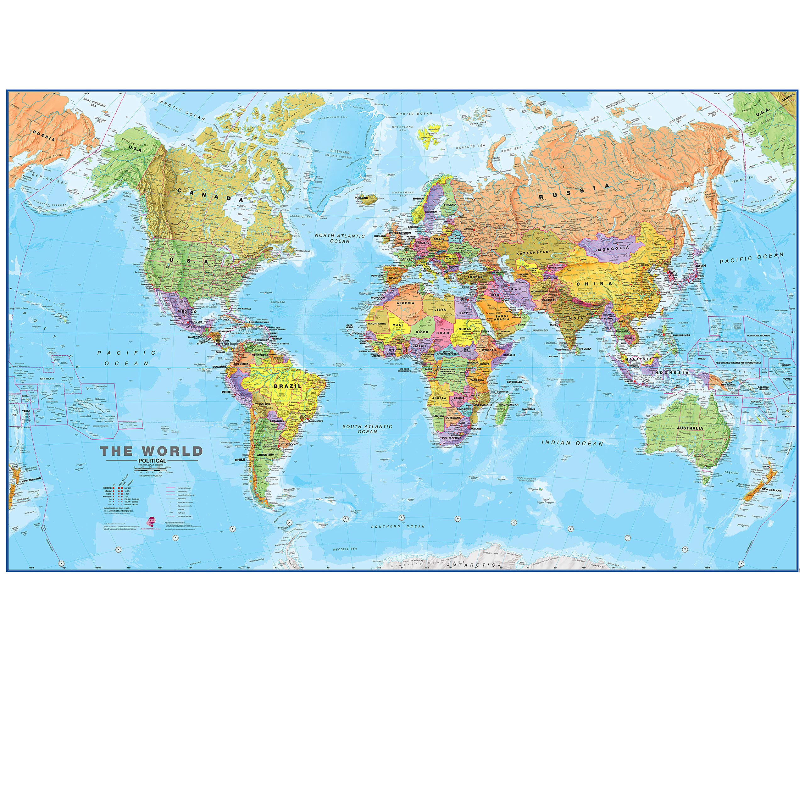
Maps International✓MapsMaps International - Giant World Map - Updated 2025 - Mega-Map Of The World - 201cm (w) x 116.5cm (h) - Full Lamination★★★★★4.7$103.99View